 Old Cumbria Gazetteer
 |
 |
|
| Dead Crags, Bassenthwaite | ||
| Dead Crags | ||
| site name:- | Bakestall | |
| civil parish:- | Bassenthwaite (formerly Cumberland) | |
| county:- | Cumbria | |
| locality type:- | rocks | |
| coordinates:- | NY26643116 (etc) | |
| 1Km square:- | NY2631 | |
| 10Km square:- | NY23 | |
| altitude:- | 2189 feet | |
| altitude:- | 667m | |
|
|
||
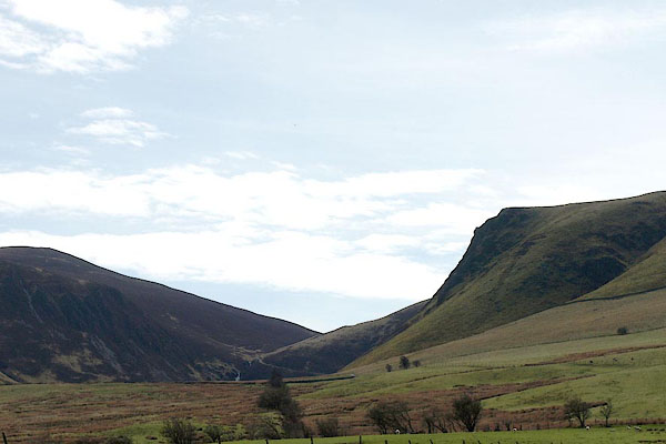 BYH04.jpg (taken 2.5.2013) 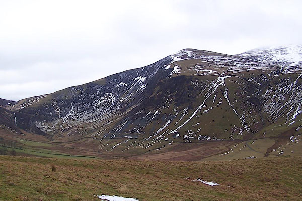 BSL58.jpg on Bakestall. (taken 4.4.2010) |
||
|
|
||
| evidence:- | old map:- OS County Series (Cmd 56 2) placename:- Dead Crags |
|
| source data:- | Maps, County Series maps of Great Britain, scales 6 and 25
inches to 1 mile, published by the Ordnance Survey, Southampton,
Hampshire, from about 1863 to 1948. |
|
|
|
||
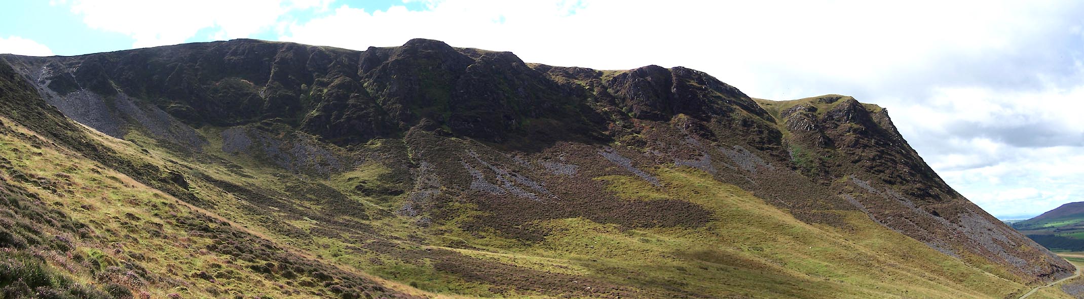 Click to enlarge BVE85.jpg and Birkett Edge. (taken 8.8.2011) |
||
|
|
||
 Lakes Guides menu.