Old Cumbria Gazetteer
 |
 |
|
||
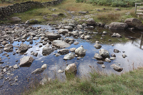
| Far Easedale Gill | ||||
| runs into:- |  Easedale Beck (?) Easedale Beck (?) |
|||
|
|
||||
| civil parish:- | Lakes (formerly Westmorland) | |||
| county:- | Cumbria | |||
| locality type:- | river | |||
| 1Km square:- | NY3109 | |||
| 10Km square:- | NY30 | |||
|
|
||||
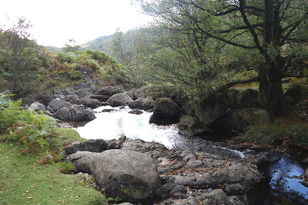 CBT99.jpg (taken 24.9.2014) 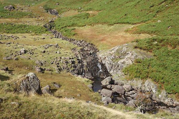 CBU08.jpg Waterfall, (taken 24.9.2014) |
||||
|
|
||||
| evidence:- | old map:- OS County Series (Wmd 18 11) placename:- Far Easedale Gill placename:- Easedale Gill, Far |
|||
| source data:- | Maps, County Series maps of Great Britain, scales 6 and 25
inches to 1 mile, published by the Ordnance Survey, Southampton,
Hampshire, from about 1863 to 1948. OS County Series (Wmd 18 12) |
|||
|
|
||||
| evidence:- | old map:- Jefferys 1770 (Wmd) |
|||
| source data:- | Map, 4 sheets, The County of Westmoreland, scale 1 inch to 1
mile, surveyed 1768, and engraved and published by Thomas
Jefferys, London, 1770.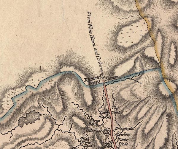 J5NY31SW.jpg single or double wiggly line; river item:- National Library of Scotland : EME.s.47 Image © National Library of Scotland |
|||
|
|
||||
| evidence:- | old print:- MacBride 1922 |
|||
| source data:- | Print, colour, Stepping Stones, Far Easedale, Grasmere, by Alfred Heaton Cooper, published
by Adam and Charles Black, 4-6 Soho Square, London, 2nd edn 1928.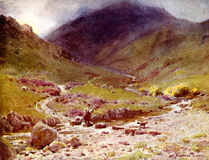 click to enlarge click to enlargeMB0114.jpg Tipped in opposite p.92 in Wild Lakeland by MacKenzie MacBride. printed at bottom:- "STEPPING-STONES, FAR EASEDALE, GRASMERE" signed at lower right:- "A. HEATON COOPER" item:- JandMN : 195.16 Image © see bottom of page |
|||
|
|
||||
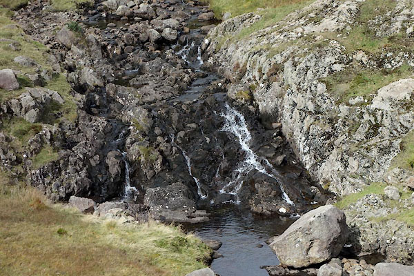 CBU09.jpg Waterfall, (taken 24.9.2014) |
||||
|
|
||||
| places:- |
|
|||
Lakes Guides menu.