 Old Cumbria Gazetteer
 |
 |
|
| Fell End Clouds, Ravenstonedale | ||
| Fell End Clouds | ||
| locality:- | Clouds, The | |
| civil parish:- | Ravenstonedale (formerly Westmorland) | |
| county:- | Cumbria | |
| locality type:- | rocks | |
| coordinates:- | SD73919990 (etc) | |
| 1Km square:- | SD7399 | |
| 10Km square:- | SD79 | |
|
|
||
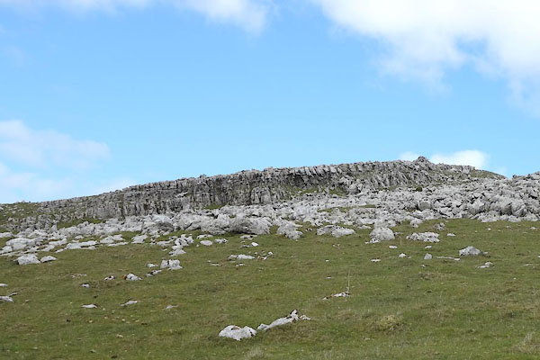 CDD39.jpg (taken 26.5.2015) 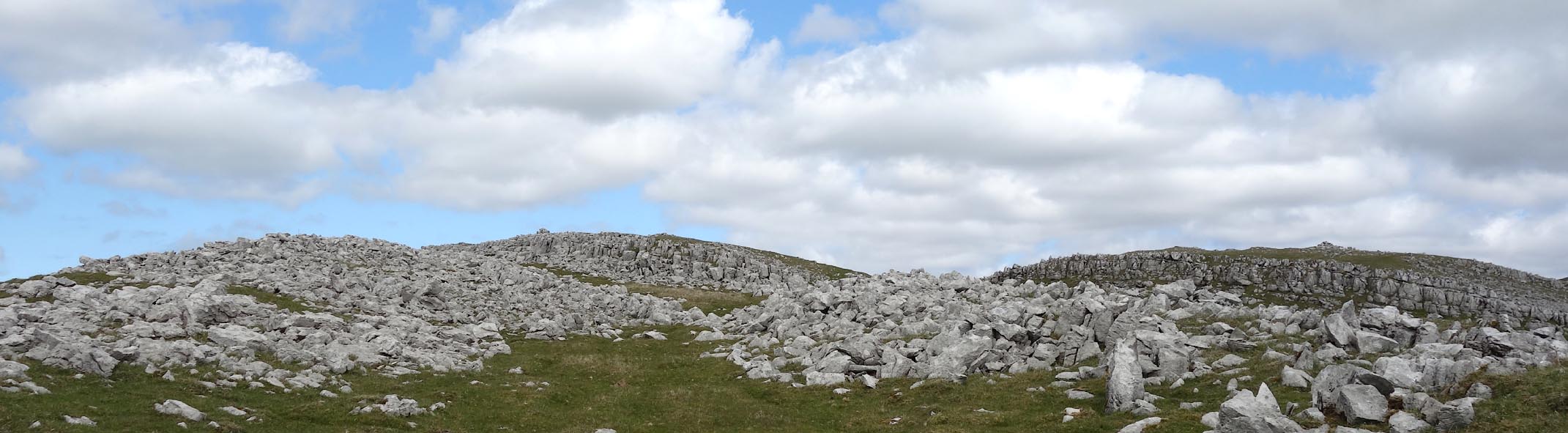 Click to enlarge CDD40.jpg (taken 26.5.2015) |
||
|
|
||
| evidence:- | old map:- OS County Series (Wmd 36 1) placename:- Fell End Clouds |
|
| source data:- | Maps, County Series maps of Great Britain, scales 6 and 25
inches to 1 mile, published by the Ordnance Survey, Southampton,
Hampshire, from about 1863 to 1948. |
|
|
|
||
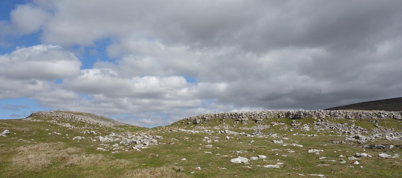 Click to enlarge CDD41.jpg (taken 26.5.2015) 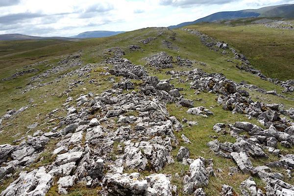 CDD42.jpg (taken 26.5.2015) 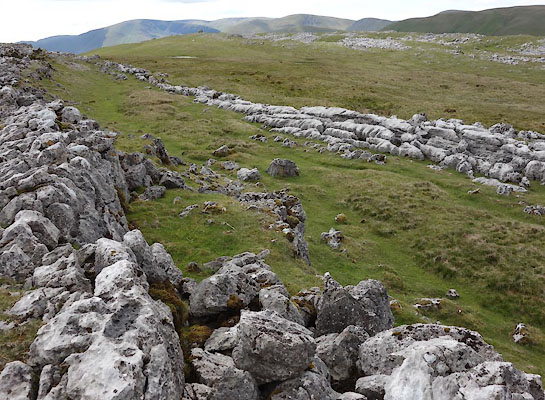 CDD43.jpg (taken 26.5.2015) 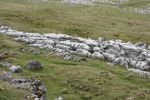 CDD44.jpg (taken 26.5.2015) 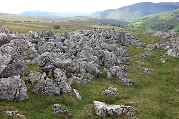 CDD45.jpg (taken 26.5.2015) |
||
|
|
||
 CDD46.jpg One of several cairns, (taken 26.5.2015) 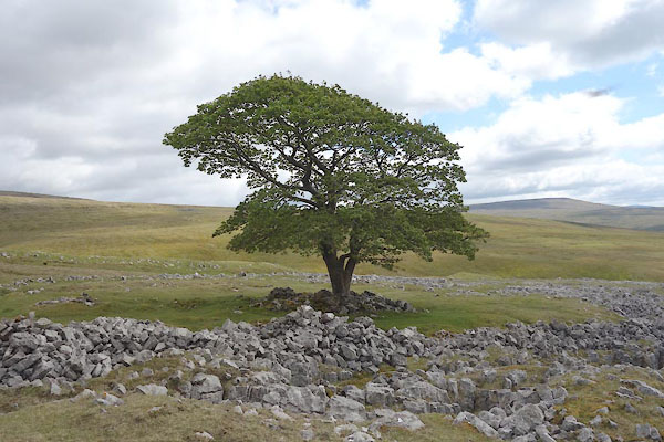 CDD47.jpg One and only tree, (taken 26.5.2015) |
||
|
|
||
 Lakes Guides menu.