 |
 |
|
|
|
|
Force Forge |
| civil parish:- |
Satterthwaite (formerly Lancashire) |
| county:- |
Cumbria |
| locality type:- |
locality |
| locality type:- |
buildings |
| coordinates:- |
SD33469047 (etc) |
| 1Km square:- |
SD3390 |
| 10Km square:- |
SD39 |
|
|
|
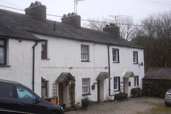
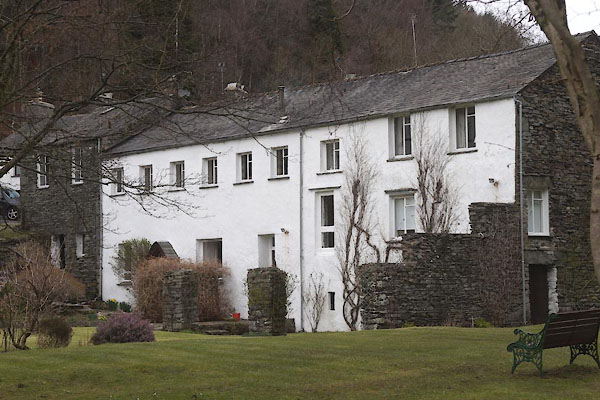
CES32.jpg row of cottages.
(taken 11.3.2016)
|
|
|
| evidence:- |
old map:- OS County Series (Lan 8 5)
placename:- Force Forge
|
| source data:- |
Maps, County Series maps of Great Britain, scales 6 and 25
inches to 1 mile, published by the Ordnance Survey, Southampton,
Hampshire, from about 1863 to 1948.
|
|
|
| places:- |
 |
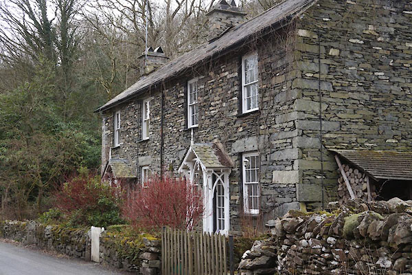
SD33409043 Force Forge Farm (Satterthwaite) |
|
|
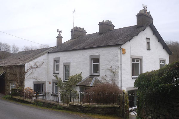 |
SD33469045 Force Forge House (Satterthwaite) |
|
|
 |
SD33489051 Force Forge (Satterthwaite) |
|
|
 |
SD33749081 Knott Cottage (Satterthwaite) |
|
|
 |
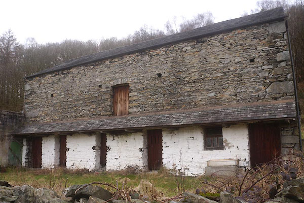
SD33489046 Old Bobbin Mill (Satterthwaite) L |
|
