 Old Cumbria Gazetteer
 |
 |
|
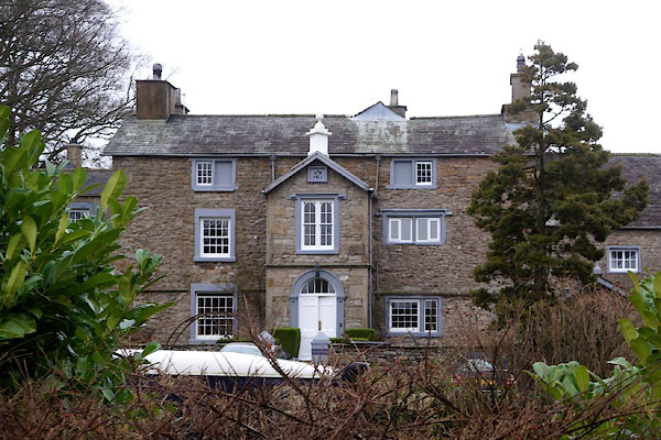
| Foulstone, Lupton | ||
| Foulstone | ||
| Fowlstone Farm | ||
| civil parish:- | Lupton (formerly Westmorland) | |
| county:- | Cumbria | |
| locality type:- | buildings | |
| coordinates:- | SD56348079 | |
| 1Km square:- | SD5680 | |
| 10Km square:- | SD58 | |
|
|
||
 CEM04.jpg (taken 1.1.2016) 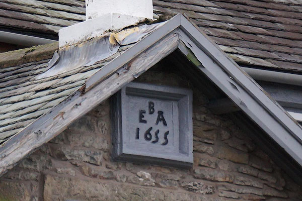 CEM06.jpg Date stone:- "B / E A / 1655" (taken 1.1.2016) |
||
|
|
||
| evidence:- | old map:- OS County Series (Wmd 47 2) placename:- Foulstone |
|
| source data:- | Maps, County Series maps of Great Britain, scales 6 and 25
inches to 1 mile, published by the Ordnance Survey, Southampton,
Hampshire, from about 1863 to 1948. |
|
|
|
||
| evidence:- | database:- Listed Buildings 2010 placename:- Foulstone item:- date stone (1655) |
|
| source data:- | courtesy of English Heritage "FOULSTONE / / A65 / LUPTON / SOUTH LAKELAND / CUMBRIA / II / 75701 / SD5632680794" |
|
|
|
||
| evidence:- | database:- Listed Buildings 2010 item:- date stone |
|
| source data:- | courtesy of English Heritage "BARN TO SOUTH EAST OF FOULSTONE / / A65 / LUPTON / SOUTH LAKELAND / CUMBRIA / II / 75702 / SD5635080786" |
|
|
|
||
| evidence:- | database:- Listed Buildings 2010 item:- date stone |
|
| source data:- | courtesy of English Heritage "BARN TO SOUTH WEST OF FOULSTONE / / A 65 / LUPTON / SOUTH LAKELAND / CUMBRIA / II / 435952 / SD5630380780" |
|
|
|
||
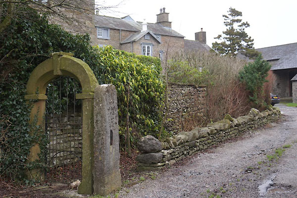 CEM05.jpg Gate. (taken 1.1.2016) |
||
|
|
||
| hearsay:- |
There is a date stone on the porch:- |
|
| "[B / E A / 1655]" |
||
| There is a date stone over the archway of a barn:- |
||
| "[B / S I / B / A S / 1732]" |
||
| Palmer 1945 |
||
|
|
||
 Lakes Guides menu.