 Old Cumbria Gazetteer
 |
 |
|
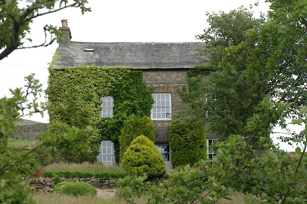
| Garsdale Foot, Garsdale | ||
| Garsdale Foot | ||
| locality:- | Garsdale valley | |
| civil parish:- | Garsdale (formerly Yorkshire) | |
| county:- | Cumbria | |
| locality type:- | buildings | |
| coordinates:- | SD69989153 | |
| 1Km square:- | SD6991 | |
| 10Km square:- | SD69 | |
|
|
||
 BWX73.jpg (taken 22.7.2012) |
||
|
|
||
| evidence:- | old map:- OS County Series (Yrk 64 1) placename:- Garsdale Foot |
|
| source data:- | Maps, County Series maps of Great Britain, scales 6 and 25
inches to 1 mile, published by the Ordnance Survey, Southampton,
Hampshire, from about 1863 to 1948. |
|
|
|
||
| personal | ||
| person:- | mathematician : Inman, James |
|
| place:- | birthplace | |
| date:- | 1776 |
|
|
|
||
 Lakes Guides menu.