 Old Cumbria Gazetteer
 |
 |
|
| Grange Scar, Asby | ||
| Grange Scar | ||
| locality:- | Great Asby Scar | |
| civil parish:- | Asby (formerly Westmorland) | |
| county:- | Cumbria | |
| locality type:- | rocks | |
| coordinates:- | NY68080947 (etc) | |
| 1Km square:- | NY6809 | |
| 10Km square:- | NY60 | |
|
|
||
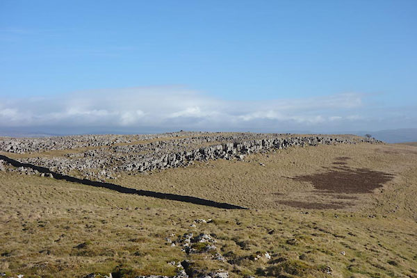 CCM31.jpg and Lousy Brow below it (taken 17.2.2015) |
||
|
|
||
| evidence:- | old map:- OS County Series (Wmd 22 11) placename:- Grange Scar |
|
| source data:- | Maps, County Series maps of Great Britain, scales 6 and 25
inches to 1 mile, published by the Ordnance Survey, Southampton,
Hampshire, from about 1863 to 1948. |
|
|
|
||
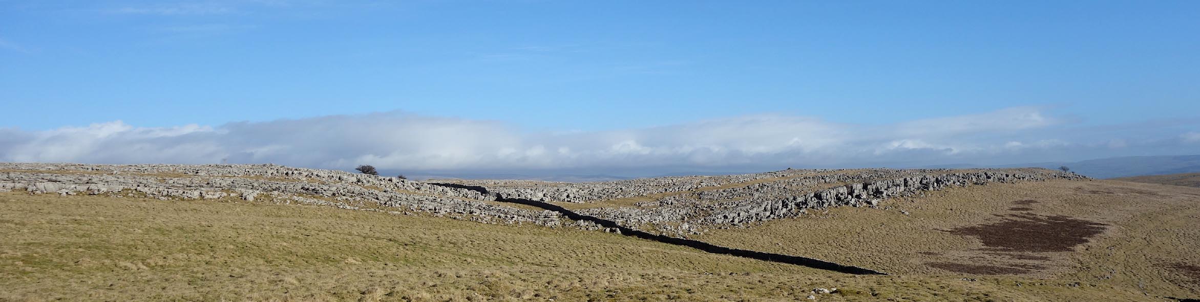 Click to enlarge CCM32.jpg (taken 17.2.2015) |
||
|
|
||
 Lakes Guides menu.