 Old Cumbria Gazetteer
 |
 |
|
| Grayrigg Pike, Grayrigg | ||
| Grayrigg Pike | ||
| locality:- | Grayrigg Common | |
| civil parish:- | Grayrigg (formerly Westmorland) | |
| county:- | Cumbria | |
| locality type:- | hill | |
| coordinates:- | SD60699951 (etc) | |
| 1Km square:- | SD6099 | |
| 10Km square:- | SD69 | |
|
|
||
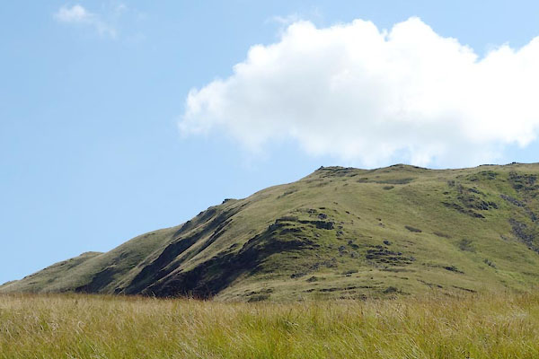 CGJ72.jpg (taken 10.8.2017) 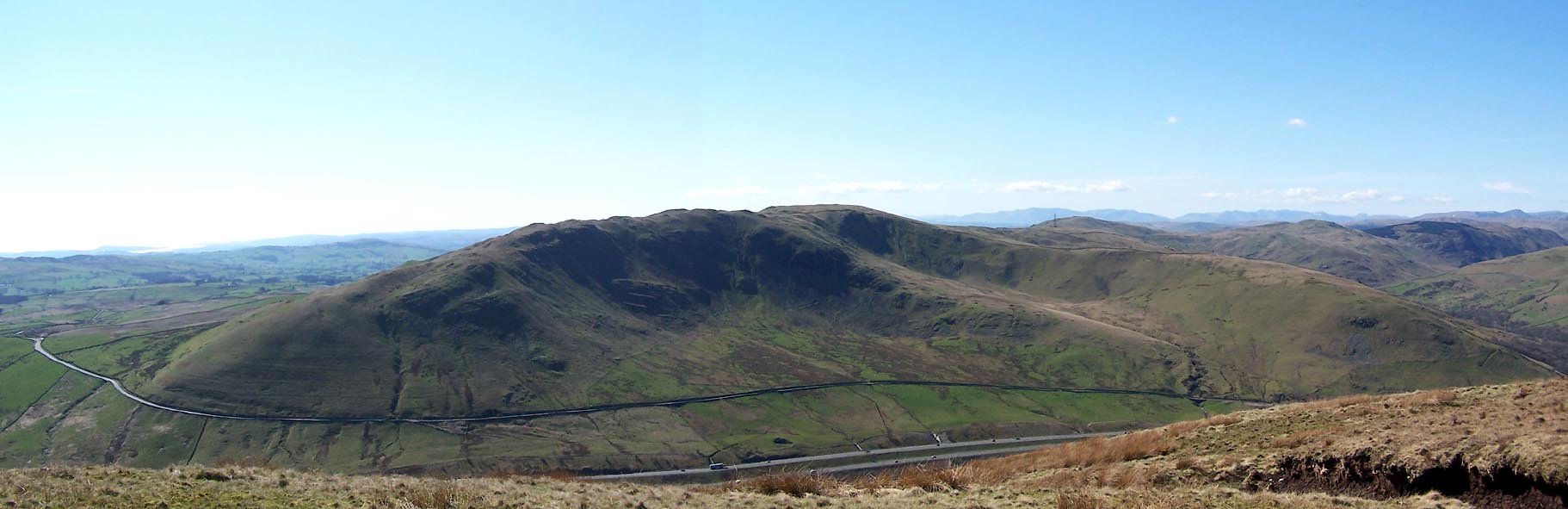 Click to enlarge BWF46.jpg (taken 5.4.2012) |
||
|
|
||
| evidence:- | old map:- OS County Series (Wmd 34 4) placename:- Grayrigg Pike |
|
| source data:- | Maps, County Series maps of Great Britain, scales 6 and 25
inches to 1 mile, published by the Ordnance Survey, Southampton,
Hampshire, from about 1863 to 1948. |
|
|
|
||
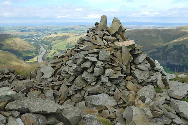 CGJ73.jpg Cairn. (taken 10.8.2017) 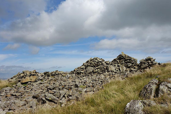 CGJ74.jpg Cairn. (taken 10.8.2017) |
||
|
|
||
 Lakes Guides menu.