 Old Cumbria Gazetteer
 |
 |
|
| Green Road Station, Millom Without | ||
| Green Road Station | ||
| site name:- | Whitehaven and Furness Junction Railway | |
| civil parish:- | Millom Without (formerly Cumberland) | |
| county:- | Cumbria | |
| locality type:- | railway station | |
| locality type:- | level crossing | |
| coordinates:- | SD18938392 | |
| 1Km square:- | SD1883 | |
| 10Km square:- | SD18 | |
| SummaryText:- | Opened 1853. | |
|
|
||
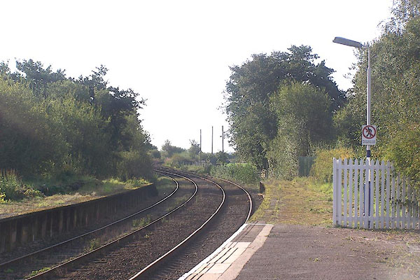
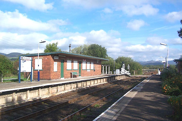 BMS55.jpg (taken 30.9.2006) 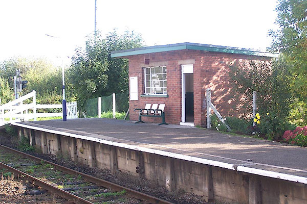 BMS56.jpg (taken 30.9.2006) |
||
|
|
||
| evidence:- | old map:- OS County Series (Cmd 88 7) placename:- Greenroad Station item:- railway signal |
|
| source data:- | Maps, County Series maps of Great Britain, scales 6 and 25
inches to 1 mile, published by the Ordnance Survey, Southampton,
Hampshire, from about 1863 to 1948.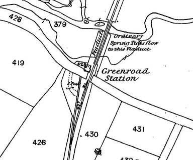 click to enlarge click to enlargeCSRY0113.jpg "Greenroad Station / S. Post" |
|
|
|
||
| evidence:- | possibly old map:- Postlethwaite 1877 (3rd edn 1913) |
|
| source data:- | Map, uncoloured engraving, Map of the Lake District Mining Field, Westmorland, Cumberland,
Lancashire, scale about 5 miles to 1 inch, by John Postlethwaite, published by W H
Moss and Sons, 13 Lowther Street, Whitehaven, Cumberland, 1877 edn 1913.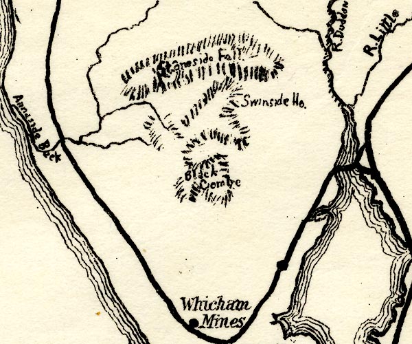 PST2SD18.jpg station on railway item:- JandMN : 162.2 Image © see bottom of page |
|
|
|
||
 BMS57.jpg View S. (taken 30.9.2006) 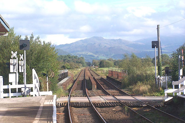 BMS58.jpg View N. (taken 30.9.2006) |
||
|
|
||
 Lakes Guides menu.