 Old Cumbria Gazetteer
 |
 |
|
|
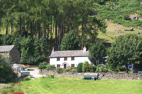
| Greenbank Farm, Patterdale | |||
| Greenbank Farm | |||
| civil parish:- | Patterdale (formerly Westmorland) | ||
| county:- | Cumbria | ||
| locality type:- | buildings | ||
| coordinates:- | NY39761467 | ||
| 1Km square:- | NY3914 | ||
| 10Km square:- | NY31 | ||
|
|
|||
 BJS73.jpg (taken 17.8.2005) |
|||
|
|
|||
| evidence:- | old map:- OS County Series (Wmd 12 15) placename:- Greenbank |
||
| source data:- | Maps, County Series maps of Great Britain, scales 6 and 25
inches to 1 mile, published by the Ordnance Survey, Southampton,
Hampshire, from about 1863 to 1948.
|
||
|
|
|||
| evidence:- | database:- Listed Buildings 2010 placename:- Greenbank Farm |
||
| source data:- | courtesy of English Heritage "GREENBANK FARMHOUSE / / / PATTERDALE / EDEN / CUMBRIA / II / 452377 / NY3976614680" |
||
|
|
|||
 Lakes Guides menu.