 Old Cumbria Gazetteer
 |
 |
|
| Gurnal Dubs, Strickland Roger | ||
| Gurnal Dubs | ||
| Fothergill Tarn | ||
| locality:- | Potter Fell | |
| civil parish:- | Strickland Roger (formerly Westmorland) | |
| county:- | Cumbria | |
| locality type:- | tarn | |
| coordinates:- | SD50319916 (etc) | |
| 1Km square:- | SD5099 | |
| 10Km square:- | SD59 | |
| altitude:- | 938 feet | |
| altitude:- | 286m | |
|
|
||
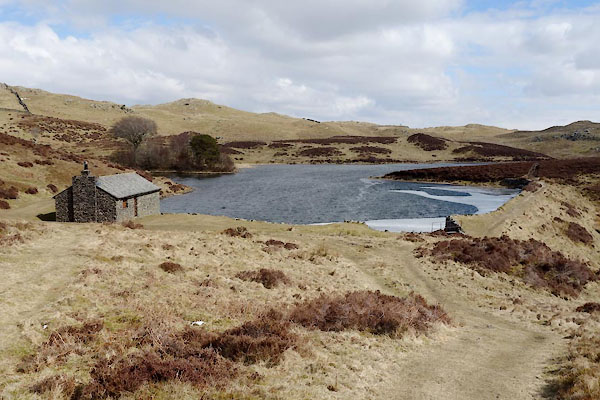 BYA39.jpg (taken 29.3.2013) 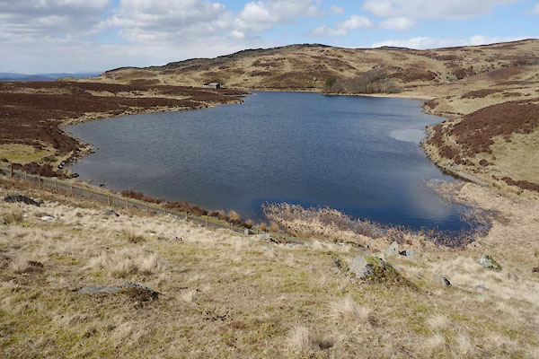 BYA40.jpg (taken 29.3.2013) |
||
|
|
||
| evidence:- | old map:- OS County Series (Wmd 33 7) placename:- Gurnal Dubs |
|
| source data:- | Maps, County Series maps of Great Britain, scales 6 and 25
inches to 1 mile, published by the Ordnance Survey, Southampton,
Hampshire, from about 1863 to 1948. |
|
|
|
||
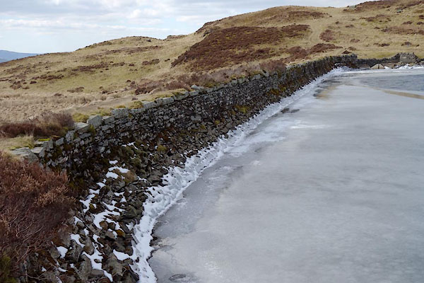 BYA41.jpg Dam wall. (taken 29.3.2013) 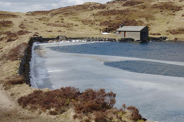 BYA42.jpg Dam wall. (taken 29.3.2013) 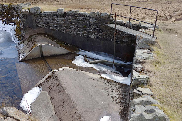 BYA47.jpg Outfall. (taken 29.3.2013) 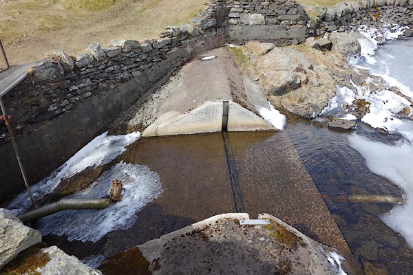 BYA48.jpg Outfall. (taken 29.3.2013) 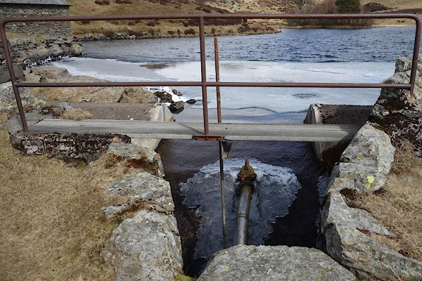 BYA49.jpg Outfall. (taken 29.3.2013) |
||
|
|
||
 Lakes Guides menu.