 Old Cumbria Gazetteer
 |
 |
|
| Heck Crag, Martindale | ||
| Heck Crag | ||
| civil parish:- | Martindale (formerly Westmorland) | |
| county:- | Cumbria | |
| locality type:- | rocks | |
| coordinates:- | NY42011489 (etc) | |
| 1Km square:- | NY4214 | |
| 10Km square:- | NY41 | |
|
|
||
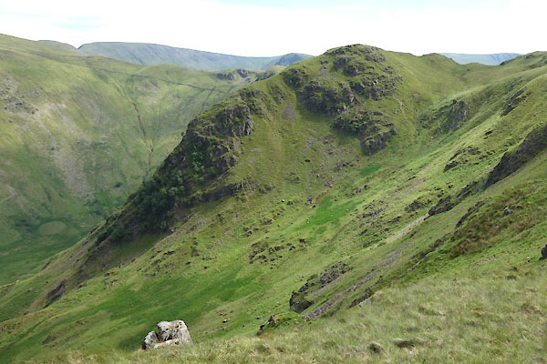 CDL93.jpg (taken 30.6.2015) 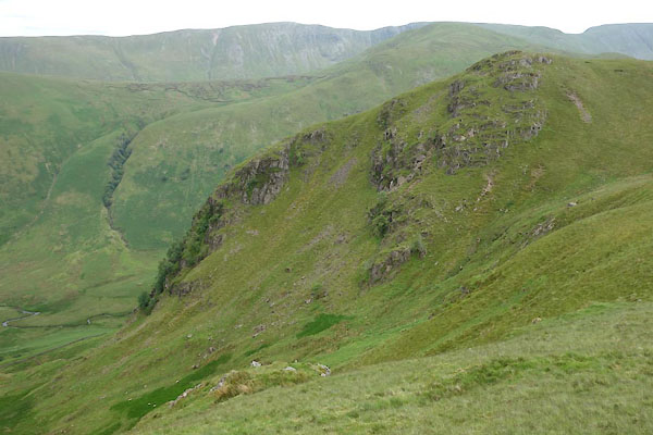 CDL99.jpg (taken 30.6.2015) |
||
|
|
||
| evidence:- | probably old map:- OS County Series (Wmd 12 16) placename:- Haig Crag |
|
| source data:- | Maps, County Series maps of Great Britain, scales 6 and 25
inches to 1 mile, published by the Ordnance Survey, Southampton,
Hampshire, from about 1863 to 1948. |
|
|
|
||
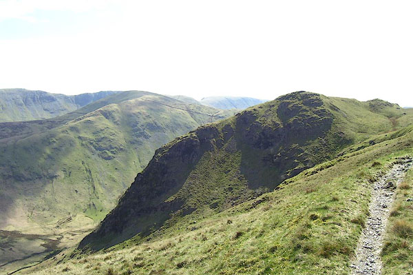 BNO91.jpg (taken 18.4.2007) 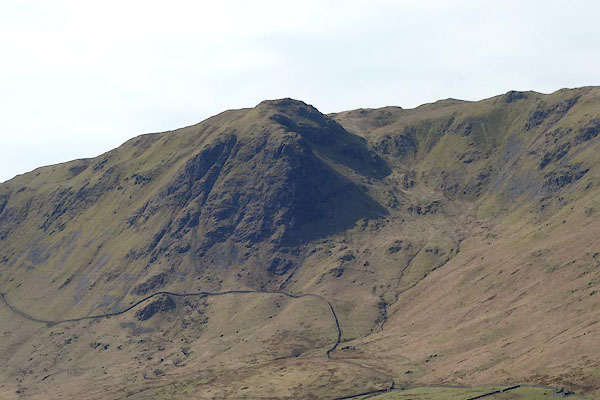 CCU91.jpg (taken 8.4.2015) |
||
|
|
||
| hearsay:- |
Rev W Richardson observed eagles nesting here in the 1780s. The female was shot, 1788?
but the male found another mate. He was shot 1789, and she left. |
|
|
|
||
 Lakes Guides menu.