 Old Cumbria Gazetteer
 |
 |
|
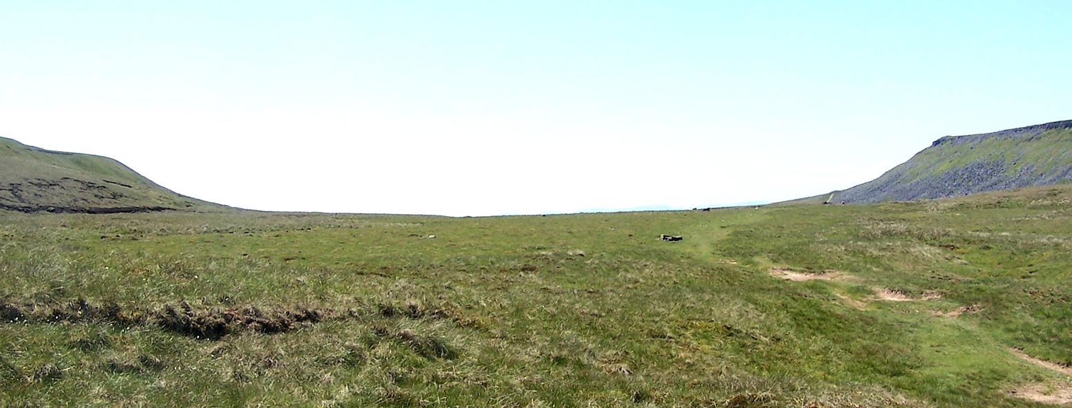
| High Cup Plain, Dufton | ||
| High Cup Plain | ||
| locality:- | High Cup | |
| locality:- | Dufton Fell | |
| locality:- | Murton Fell | |
| civil parish:- | Dufton (formerly Westmorland) | |
| civil parish:- | Murton (formerly Westmorland) | |
| county:- | Cumbria | |
| locality type:- | area | |
| coordinates:- | NY74622644 (etc) | |
| 1Km square:- | NY7426 | |
| 10Km square:- | NY72 | |
|
|
||
 Click to enlarge BQR98.jpg (taken 1.6.2009) |
||
|
|
||
| evidence:- | old map:- OS County Series (Wmd 10 1) placename:- High Cup Plain |
|
| source data:- | Maps, County Series maps of Great Britain, scales 6 and 25
inches to 1 mile, published by the Ordnance Survey, Southampton,
Hampshire, from about 1863 to 1948. |
|
|
|
||
 Lakes Guides menu.