 Old Cumbria Gazetteer
 |
 |
|
| High Harrington Station, Harrington | ||
| gone | ||
| High Harrington Station | ||
| site name:- | Cleator and Workington Junction Railway | |
| locality:- | High Harrington | |
| locality:- | Harrington | |
| civil parish:- | Workington (formerly Cumberland) | |
| county:- | Cumbria | |
| locality type:- | railway station | |
| coordinates:- | NX99972562 (about) | |
| 1Km square:- | NX9925 | |
| 10Km square:- | NX92 | |
| SummaryText:- | Opened 1879; closed 1931. | |
|
|
||
| evidence:- | old map:- Postlethwaite 1877 (3rd edn 1913) placename:- High Harrington Station |
|
| source data:- | Map, uncoloured engraving, Map of the Lake District Mining Field, Westmorland, Cumberland,
Lancashire, scale about 5 miles to 1 inch, by John Postlethwaite, published by W H
Moss and Sons, 13 Lowther Street, Whitehaven, Cumberland, 1877 edn 1913.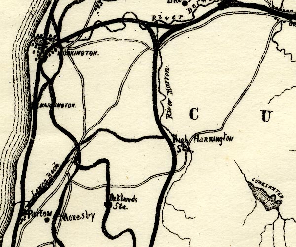 PST2NY02.jpg "High Harrington S[ta.]" no symbol item:- JandMN : 162.2 Image © see bottom of page |
|
|
|
||
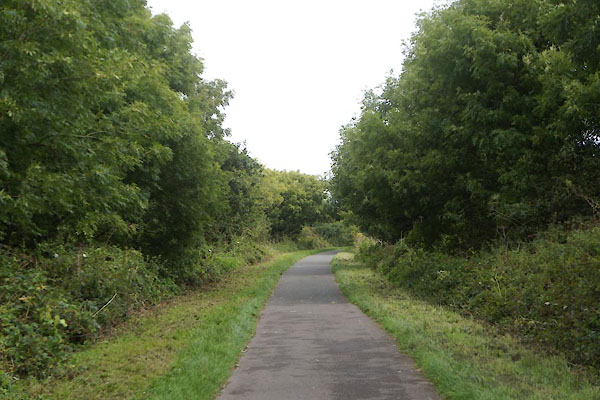 CFK58.jpg View N. (taken 2.9.2016) 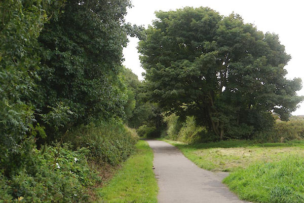 CFK59.jpg View S. (taken 2.9.2016) |
||
|
|
||
 Lakes Guides menu.