 Old Cumbria Gazetteer
 |
 |
|
||
| Hobdale Beck | ||||
| runs into:- |  Rawthey, River Rawthey, River |
|||
|
|
||||
| civil parish:- | Sedbergh (formerly Yorkshire) | |||
| county:- | Cumbria | |||
| locality type:- | river | |||
| 1Km square:- | SD6894 (etc) | |||
| 10Km square:- | SD69 | |||
|
|
||||
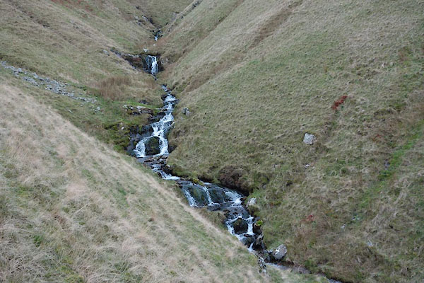 BZR86.jpg (taken 22.11.2013) 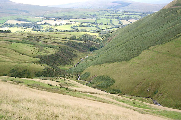 BRH27.jpg (taken 13.8.2009) |
||||
|
|
||||
| evidence:- | old map:- Jefferys 1770 (Wmd) |
|||
| source data:- | Map, 4 sheets, The County of Westmoreland, scale 1 inch to 1
mile, surveyed 1768, and engraved and published by Thomas
Jefferys, London, 1770.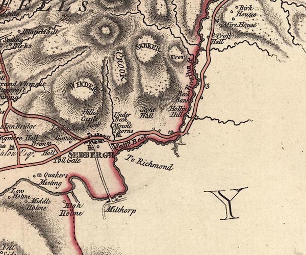 J5SD69SE.jpg single or double wiggly line; river item:- National Library of Scotland : EME.s.47 Image © National Library of Scotland |
|||
|
|
||||
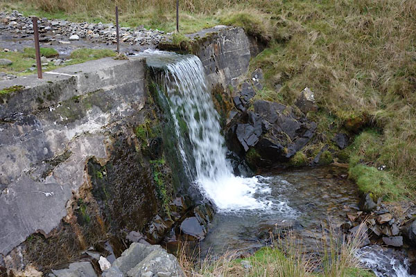 BZR87.jpg Weir, (taken 22.11.2013) 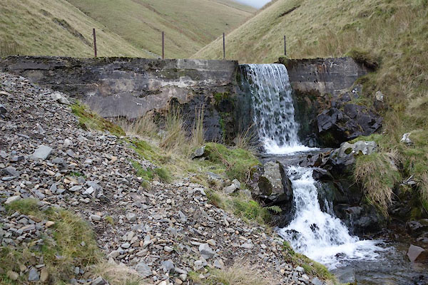 BZR88.jpg Weir, (taken 22.11.2013) 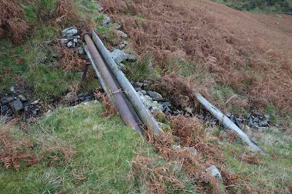 BZR92.jpg Waterpipe from weir? (taken 22.11.2013) |
||||
|
|
||||
| places:- |
|
|||
Lakes Guides menu.