 Old Cumbria Gazetteer
 |
 |
|
| Huddlesceugh Hall, Kirkoswald | ||
| Huddlesceugh Hall | ||
| civil parish:- | Kirkoswald (formerly Cumberland) | |
| county:- | Cumbria | |
| locality type:- | buildings | |
| coordinates:- | NY59764225 | |
| 1Km square:- | NY5942 | |
| 10Km square:- | NY54 | |
|
|
||
| evidence:- | old map:- Saxton 1579 placename:- Huddleskew |
|
| source data:- | Map, hand coloured engraving, Westmorlandiae et Cumberlandiae Comitatus ie Westmorland
and Cumberland, scale about 5 miles to 1 inch, by Christopher Saxton, London, engraved
by Augustinus Ryther, 1576, published 1579-1645.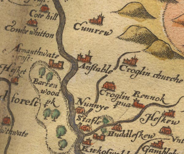 Sax9NY54.jpg Building. "Huddleskew" item:- private collection : 2 Image © see bottom of page |
|
|
|
||
| evidence:- | probably old map:- Speed 1611 (Cmd) placename:- Huddleskew |
|
| source data:- | Map, hand coloured engraving, Cumberland and the Ancient Citie
Carlile Described, scale about 4 miles to 1 inch, by John Speed,
1610, published by J Sudbury and George Humble, Popes Head
Alley, London, 1611-12.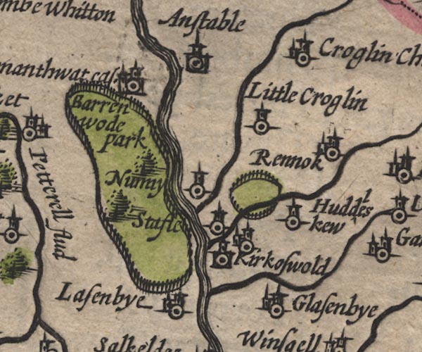 SP11NY54.jpg "Huddleskew" circle, tower item:- private collection : 16 Image © see bottom of page |
|
|
|
||
| evidence:- | old map:- Jansson 1646 |
|
| source data:- | Map, hand coloured engraving, Cumbria and Westmoria, ie
Cumberland and Westmorland, scale about 3.5 miles to 1 inch, by
John Jansson, Amsterdam, Netherlands, 1646.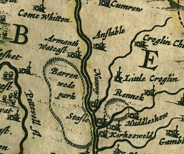 JAN3NY54.jpg Buildings and tower. item:- JandMN : 88 Image © see bottom of page |
|
|
|
||
| evidence:- | probably old map:- Morden 1695 (Cmd) placename:- Huddleskew |
|
| source data:- | Map, uncoloured engraving, Cumberland, scale about 4 miles to 1
inch, by Robert Morden, 1695, published by Abel Swale, the
Unicorn, St Paul's Churchyard, Awnsham, and John Churchill, the
Black Swan, Paternoster Row, London, 1695-1715.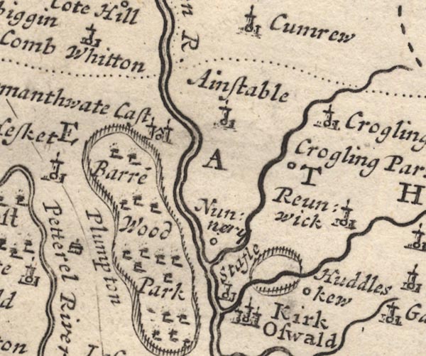 MD12NY54.jpg "Huddleskew" Circle. item:- JandMN : 90 Image © see bottom of page |
|
|
|
||
| evidence:- | old map:- Bowen and Kitchin 1760 placename:- Huddleskew |
|
| source data:- | Map, hand coloured engraving, A New Map of the Counties of
Cumberland and Westmoreland Divided into their Respective Wards,
scale about 4 miles to 1 inch, by Emanuel Bowen and Thomas
Kitchin et al, published by T Bowles, Robert Sayer, and John
Bowles, London, 1760.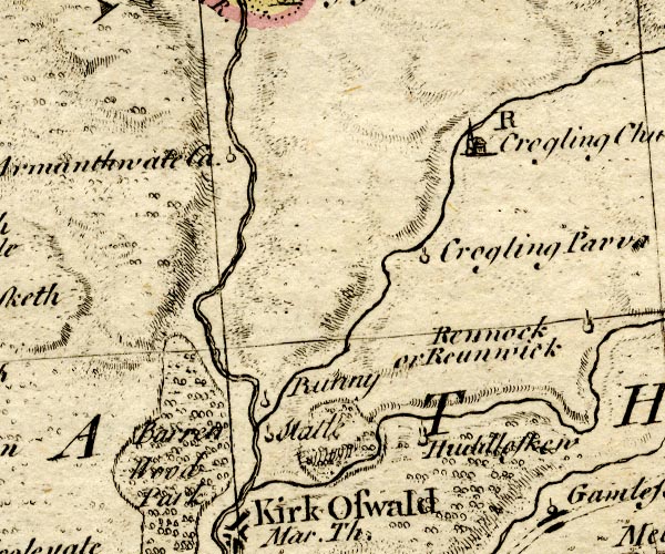 BO18NY54.jpg "Huddleskew" circle, tower item:- Armitt Library : 2008.14.10 Image © see bottom of page |
|
|
|
||
| evidence:- | old map:- Donald 1774 (Cmd) placename:- Huddlescugh Hall |
|
| source data:- | Map, hand coloured engraving, 3x2 sheets, The County of Cumberland, scale about 1
inch to 1 mile, by Thomas Donald, engraved and published by Joseph Hodskinson, 29
Arundel Street, Strand, London, 1774.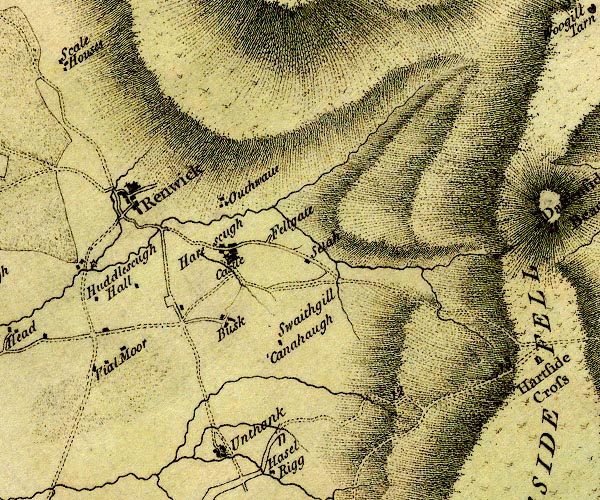 D4NY64SW.jpg "Huddlescugh Hall" block or blocks, labelled in lowercase; a hamlet or just a house item:- Carlisle Library : Map 2 Image © Carlisle Library |
|
|
|
||
| evidence:- | database:- Listed Buildings 2010 placename:- Huddlesceugh Hall item:- date stone (1601) |
|
| source data:- | courtesy of English Heritage "HUDDLESCEUGH HALL AND ADJOINING BARN / / / KIRKOSWALD / EDEN / CUMBRIA / II / 73509 / NY5976642258" |
|
|
|
||
 Lakes Guides menu.