 Old Cumbria Gazetteer
 |
 |
|
| Kendal Station, Kendal | ||
| Kendal Station | ||
| site name:- | Kendal and Windermere Railway | |
| Street:- | Station Road | |
| locality:- | Kendal | |
| civil parish:- | Kendal (formerly Westmorland) | |
| county:- | Cumbria | |
| locality type:- | railway station | |
| coordinates:- | SD51969321 | |
| 1Km square:- | SD5193 | |
| 10Km square:- | SD59 | |
| SummaryText:- | Opened with the railway, 1846. | |
|
|
||
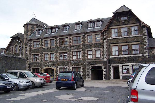 BJT07.jpg The old station building. (taken 19.8.2005) 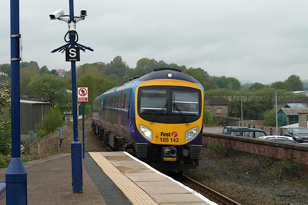 BST23.jpg Train from Windermee. (taken 14.5.2010) |
||
|
|
||
| evidence:- | old map:- OS County Series (Wmd 38 4) item:- railway signal; railway bridge |
|
| source data:- | Maps, County Series maps of Great Britain, scales 6 and 25
inches to 1 mile, published by the Ordnance Survey, Southampton,
Hampshire, from about 1863 to 1948.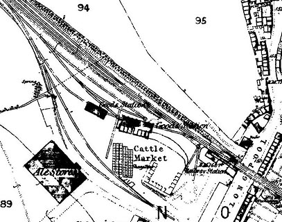 click to enlarge click to enlargeCSRY0171.jpg "Railway Station / Goods Station / S.P. / Cattle Market / Sheep Pens / ..." |
|
|
|
||
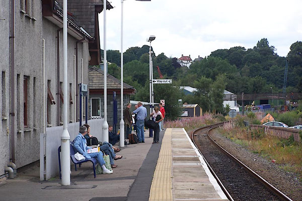 BJT08.jpg All that is used now. (taken 19.8.2005) |
||
|
|
||
 Lakes Guides menu.