 Old Cumbria Gazetteer
 |
 |
|
| Knoutberry, Ravenstonedale | ||
| Knoutberry | ||
| locality:- | Ravenstonedale Common | |
| civil parish:- | Ravenstonedale (formerly Westmorland) | |
| county:- | Cumbria | |
| locality type:- | area | |
| locality type:- | watershed | |
| coordinates:- | NY70410128 | |
| 1Km square:- | NY7001 | |
| 10Km square:- | NY70 | |
|
|
||
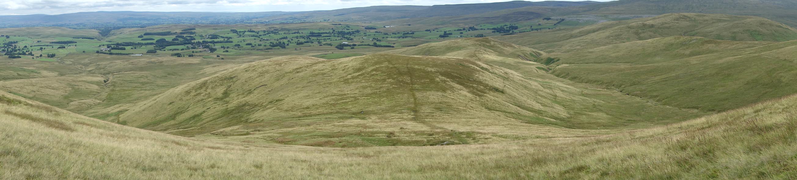 Click to enlarge BZA26.jpg (taken 6.8.2013) |
||
| To the left is Dale Gill which is the headwater of the River Lune; to the right is
Long Gill which feeds into the River Eden. |
||
|
|
||
| evidence:- | old map:- OS County Series (Wmd 29 16) placename:- Knoutberry |
|
| source data:- | Maps, County Series maps of Great Britain, scales 6 and 25
inches to 1 mile, published by the Ordnance Survey, Southampton,
Hampshire, from about 1863 to 1948. |
|
|
|
||
| MN photo:- |
Much of the Howgills is common pasture land. This flock has been clipper and is being
driven back to the fell. Sheep, shepherd, two dogs, and a quad bike. |
|
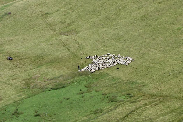 BZA33.jpg (taken 6.8.2013) 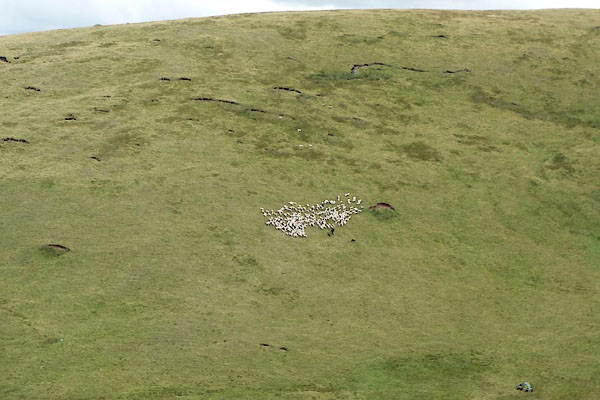 BZA34.jpg (taken 6.8.2013)  BZA35.jpg (taken 6.8.2013) |
||
|
|
||
| hearsay:- |
The popular story is that this hill was named in response to a surveyor asking 'what
the name of that hill?' The reply, 'it's nowt bu'a 'ill'. |
|
|
|
||
 Lakes Guides menu.