 Old Cumbria Gazetteer
 |
 |
|
| Levens Moss, Levens | ||
| Levens Moss | ||
| locality:- | Lyth Valley | |
| civil parish:- | Levens (formerly Westmorland) | |
| county:- | Cumbria | |
| locality type:- | moss | |
| locality type:- | peat moss | |
| coordinates:- | SD47788694 (etc) | |
| 1Km square:- | SD4786 | |
| 10Km square:- | SD48 | |
|
|
||
| evidence:- | old map:- OS County Series (Wmd 42 2) placename:- Levens Marsh |
|
| source data:- | Maps, County Series maps of Great Britain, scales 6 and 25
inches to 1 mile, published by the Ordnance Survey, Southampton,
Hampshire, from about 1863 to 1948. |
|
|
|
||
| evidence:- | old map:- Jefferys 1770 (Wmd) |
|
| source data:- | Map, 4 sheets, The County of Westmoreland, scale 1 inch to 1
mile, surveyed 1768, and engraved and published by Thomas
Jefferys, London, 1770.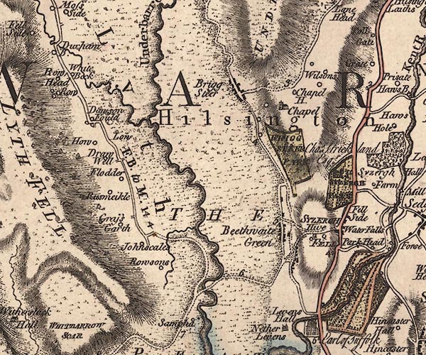 J5SD48NE.jpg "THE PEAT MOSSES" area, marked as a moss item:- National Library of Scotland : EME.s.47 Image © National Library of Scotland |
|
|
|
||
| evidence:- | old map:- Cary 1789 (edn 1805) |
|
| source data:- | Map, uncoloured engraving, Westmoreland, scale about 2.5 miles
to 1 inch, by John Cary, London, 1789; edition 1805.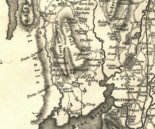 CY24SD48.jpg "PEAT MOSSES" area item:- JandMN : 129 Image © see bottom of page |
|
|
|
||
 Lakes Guides menu.