 Old Cumbria Gazetteer
 |
 |
|
| Lindal Tunnel, Lindal and Marton | ||
| Lindal Tunnel | ||
| site name:- | Furness Railway | |
| civil parish:- | Lindal and Marton (formerly Lancashire) | |
| county:- | Cumbria | |
| locality type:- | railway tunnel | |
| coordinates:- | SD24167485 | |
| coordinates:- | SD24507499 | |
| 1Km square:- | SD2474 | |
| 10Km square:- | SD27 | |
|
|
||
| evidence:- | old map:- OS County Series (Lan 16 9) placename:- Lindal Tunnel item:- railway signal |
|
| source data:- | Maps, County Series maps of Great Britain, scales 6 and 25
inches to 1 mile, published by the Ordnance Survey, Southampton,
Hampshire, from about 1863 to 1948.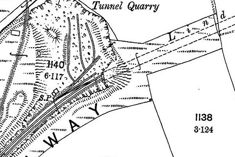 click to enlarge click to enlargeCSRY0144.jpg "Lindal [ ] / S.P." SW portal 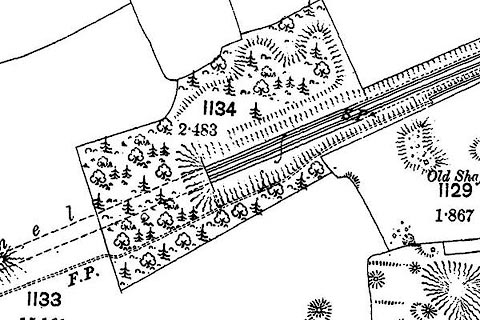 click to enlarge click to enlargeCSRY0145.jpg "[ ] Tunnel / S.P." NE portal |
|
|
|
||
 Lakes Guides menu.