 Old Cumbria Gazetteer
 |
 |
|
| Little Mell Fell, Matterdale | ||
| Little Mell Fell | ||
| civil parish:- | Matterdale (formerly Cumberland) | |
| county:- | Cumbria | |
| locality type:- | hill | |
| coordinates:- | NY42312402 | |
| 1Km square:- | NY4224 | |
| 10Km square:- | NY42 | |
| altitude:- | 1657 feet | |
| altitude:- | 505m | |
|
|
||
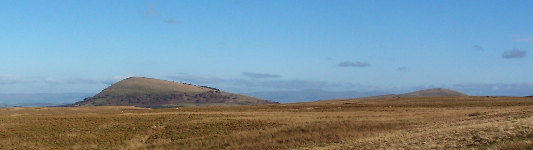 Click to enlarge BXP08.jpg Great Mell Fell and Little Mell Fell. (taken 27.10.2012) |
||
|
|
||
| evidence:- | old map:- OS County Series (Cmd 66 1) placename:- Little Mell Fell placename:- Mell Fell, Little |
|
| source data:- | Maps, County Series maps of Great Britain, scales 6 and 25
inches to 1 mile, published by the Ordnance Survey, Southampton,
Hampshire, from about 1863 to 1948. |
|
|
|
||
| evidence:- | old map:- West 1784 map placename:- Mell Fell |
|
| source data:- | Map, hand coloured engraving, A Map of the Lakes in Cumberland,
Westmorland and Lancashire, scale about 3.5 miles to 1 inch,
engraved by Paas, 53 Holborn, London, about 1784.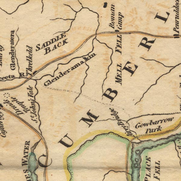 Ws02NY32.jpg "MELL FELL" item:- Armitt Library : A1221.1 Image © see bottom of page |
|
|
|
||
| evidence:- | old print:- Clarke 1787 placename:- Little Mellfell |
|
| source data:- | Topograph, the view from Penrith Beacon, Cumberland, by James
Clarke, published by James Clarke, London, 1787.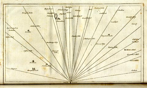 click to enlarge click to enlargeCL18.jpg "Little Mellfell" item:- Armitt Library : A6615.12 Image © see bottom of page |
|
|
|
||
| evidence:- | outline view:- LMS 1920s |
|
| source data:- | Hills from Penrith Station, published in the LMS Route Book No.3, The Track of the
Royal Scot, by the London, Midland and Scottish Railway, LMS, 1920s.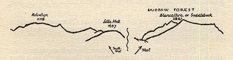 click to enlarge click to enlargeLS1E40.jpg item:- JandMN : 95.13 Image © see bottom of page |
|
|
|
||
 Lakes Guides menu.