 Old Cumbria Gazetteer
 |
 |
|
| Low House, Bassenthwaite | ||
| Low House | ||
| civil parish:- | Bassenthwaite (formerly Cumberland) | |
| county:- | Cumbria | |
| locality type:- | buildings | |
| coordinates:- | NY21363221 | |
| 1Km square:- | NY2132 | |
| 10Km square:- | NY23 | |
|
|
||
| evidence:- | probably old map:- Crosthwaite 1783-94 (Bas) placename:- Murk Holm |
|
| source data:- | Map, uncoloured engraving, An Accurate Map of Broadwater or
Bassenthwaite Lake, scale about 3 inches to 1 mile, by Peter
Crosthwaite, Keswick, Cumberland, 1783, version published 1800.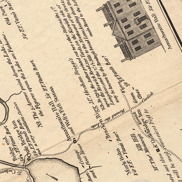 CT6NY23B.jpg "Murk Holm / Sir F. F. Vane's Bart." item:- Armitt Library : 1959.191.4 Image © see bottom of page |
|
|
|
||
| evidence:- | database:- Listed Buildings 2010 placename:- Low House Farm |
|
| source data:- | courtesy of English Heritage "LOW HOUSE FARMHOUSE AND ADJOINING BARN / / / BASSENTHWAITE / ALLERDALE / CUMBRIA / II / 72101 / NY2137832212" |
|
|
|
||
| evidence:- | probably old map:- Post Office 1850s-1900s placename:- Low House |
|
| source data:- | Post road maps, General Post Office Circulation Map for England
and Wales, for the General Post Office, London, 1850s-1900s.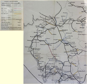 click to enlarge click to enlargePOF8Cm.jpg "Low House" map date 1873 |
|
|
|
||
| :- |
images courtesy of the British Postal Museum and Hampshire CC Museums |
|
|
|
||
 Lakes Guides menu.