 |
 |
|
|
|
|
Lowstreet |
| civil parish:- |
Hesket (formerly Cumberland) |
| county:- |
Cumbria |
| locality type:- |
locality |
| locality type:- |
buildings |
| coordinates:- |
NY48413690 (etc) |
| 1Km square:- |
NY4836 |
| 10Km square:- |
NY43 |
|
|
|
BYX97.jpg (taken 2.8.2013)
|
|
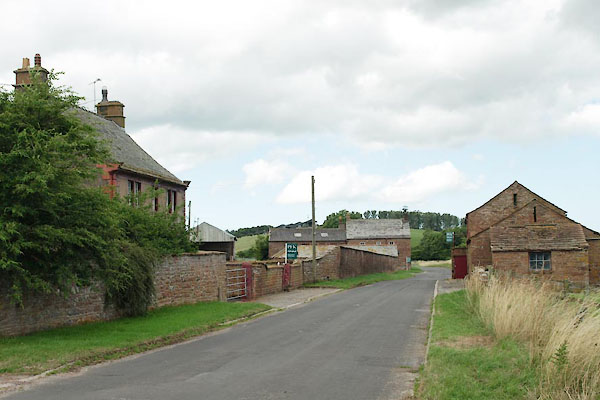
The settlement is within half a field of the motorway, which has no sound reducing
berm or fencing. The noise is horrendous.
|
|
The group of houses and barns is a visual delight.
|
|
|
| evidence:- |
old map:- OS County Series (Cmd 49 3)
placename:- Lowstreet
|
| source data:- |
Maps, County Series maps of Great Britain, scales 6 and 25
inches to 1 mile, published by the Ordnance Survey, Southampton,
Hampshire, from about 1863 to 1948.
|
|
|
| places:- |
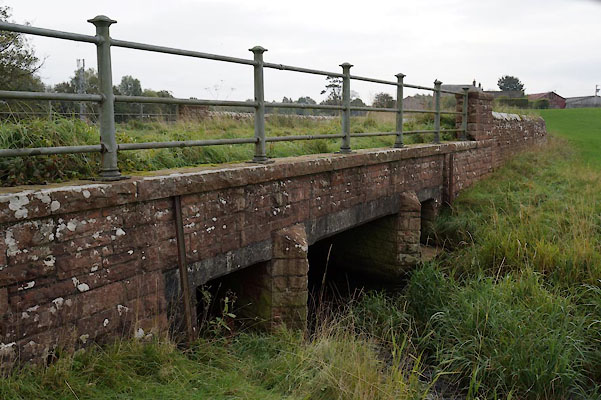 |
NY48353708 bridge, Hesket (Hesket) |
|
|
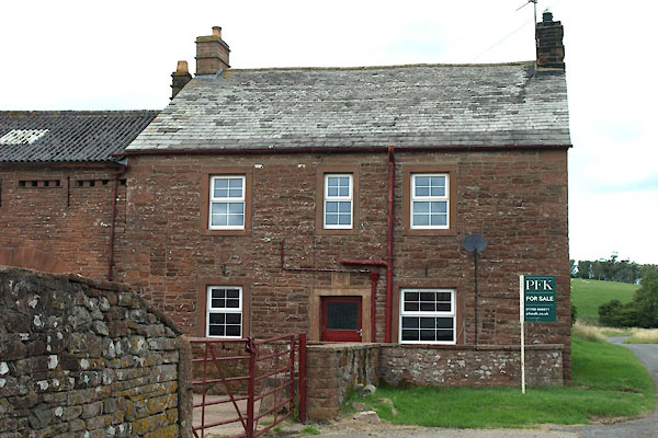 |
NY48383693 Lowstreet Cottage (Hesket) L |
|
|
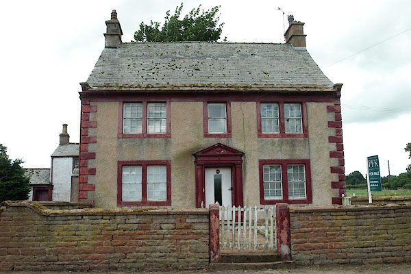 |
NY48403684 Lowstreet House (Hesket) L |
|
|
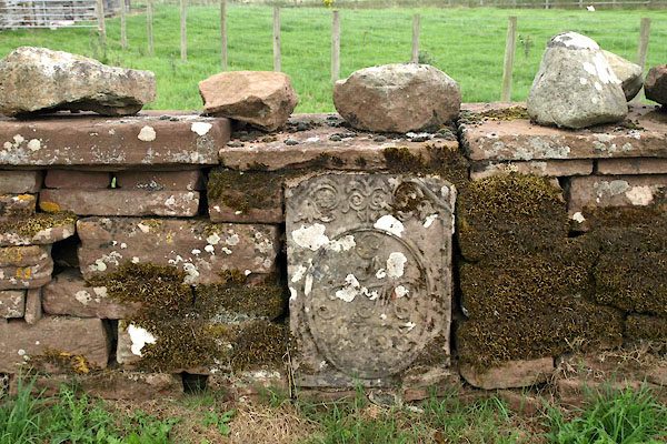 |
NY48443685 stone wall, Hesket (Hesket) |
|
|
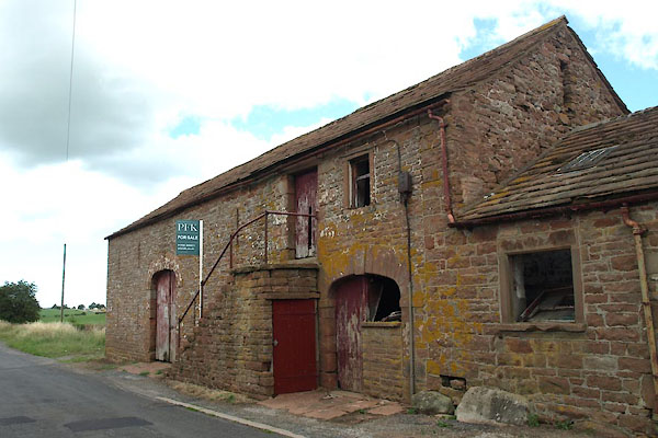 |
NY48423688 barn, Hesket (Hesket) L |
|

 Lakes Guides menu.