 |
 |
|
|
|
|
Marton |
| civil parish:- |
Lindal and Marton (formerly Lancashire) |
| county:- |
Cumbria |
| locality type:- |
locality |
| locality type:- |
buildings |
| coordinates:- |
SD24077709 (etc) |
| 1Km square:- |
SD2477 |
| 10Km square:- |
SD27 |
|
|
| evidence:- |
old map:- OS County Series (Lan 16 5)
placename:- Martin
|
| source data:- |
Maps, County Series maps of Great Britain, scales 6 and 25
inches to 1 mile, published by the Ordnance Survey, Southampton,
Hampshire, from about 1863 to 1948.
|
|
|
| places:- |
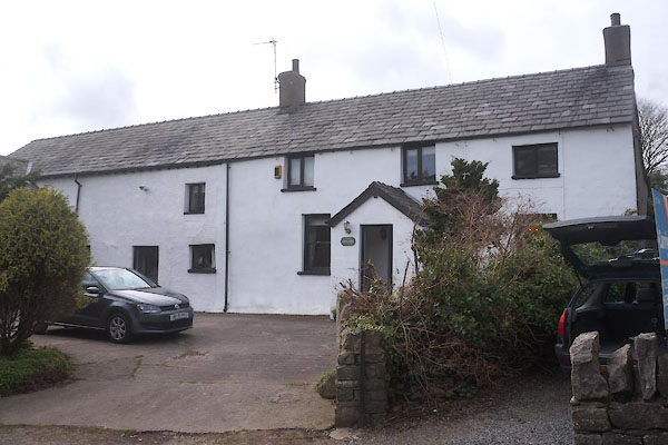 |
SD24057709 Gate Farm (Lindal and Marton) L |
|
|
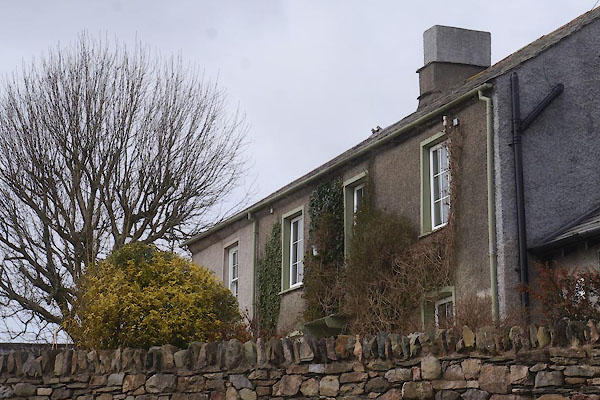 |
SD24037716 Marton Hall (Lindal and Marton) L |
|
|
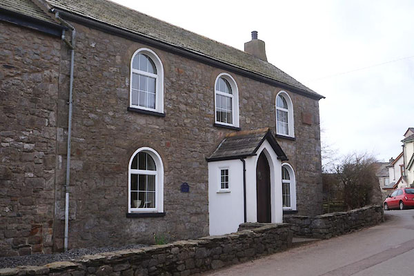 |
SD24167707 Minstrel Hall (Lindal and Marton) |
|
|
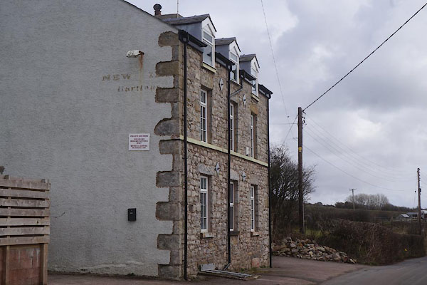 |
SD24257704 New Inn (Lindal and Marton) |
|
|
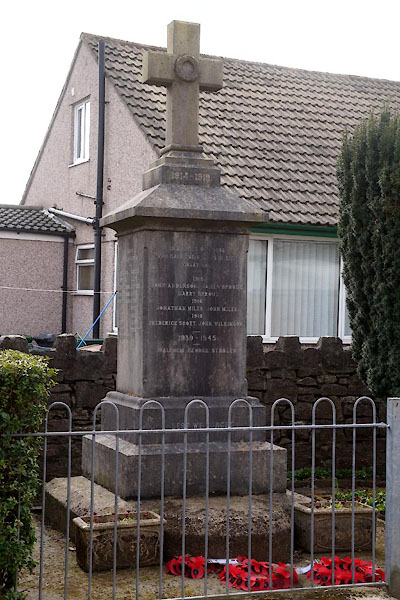 |
SD24097707 war memorial, Marton (Lindal and Marton) |
|

 Lakes Guides menu.