 Old Cumbria Gazetteer
 |
 |
|
| Milecastle 51, Waterhead | ||
| Milecastle 51 | ||
| site name:- | Hadrian's Wall | |
| civil parish:- | Waterhead (formerly Cumberland) | |
| county:- | Cumbria | |
| locality type:- | roman milecastle | |
| coordinates:- | NY59306549 (?) | |
| 1Km square:- | NY5965 | |
| 10Km square:- | NY56 | |
|
|
||
| evidence:- | old map:- OS County Series (Cmd 12 11) |
|
| source data:- | Maps, County Series maps of Great Britain, scales 6 and 25
inches to 1 mile, published by the Ordnance Survey, Southampton,
Hampshire, from about 1863 to 1948. "MILE CASTLE (Site of)" |
|
|
|
||
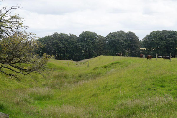 CAY42.jpg Turf wall E of milecastle 51. (taken 27.6.2014) 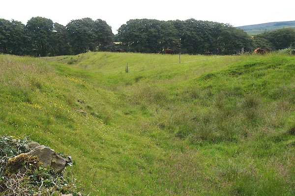 CAY43.jpg Turf wall E of milecastle 51. (taken 27.6.2014) |
||
|
|
||
 Lakes Guides menu.