 Old Cumbria Gazetteer
 |
 |
|
| Milton Bridge, Milton | ||
| Milton Bridge | ||
| site name:- | Milton Beck | |
| locality:- | Milton | |
| civil parish:- | Brampton (formerly Cumberland) | |
| county:- | Cumbria | |
| locality type:- | bridge | |
| coordinates:- | NY55356049 | |
| 1Km square:- | NY5560 | |
| 10Km square:- | NY56 | |
|
|
||
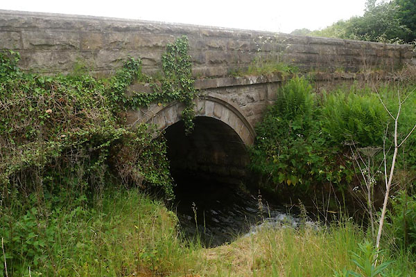 CFC40.jpg (taken 10.6.2016) 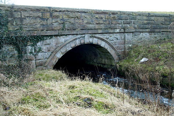 BPX42.jpg (taken 16.1.2009) |
||
|
|
||
| evidence:- | old map:- Ogilby 1675 (plate 86) |
|
| source data:- | Road strip map, uncoloured engraving, the Road from Tinmouth ...
to Carlisle, scale about 1 inch to 1 mile, by John Ogilby,
London, 1675.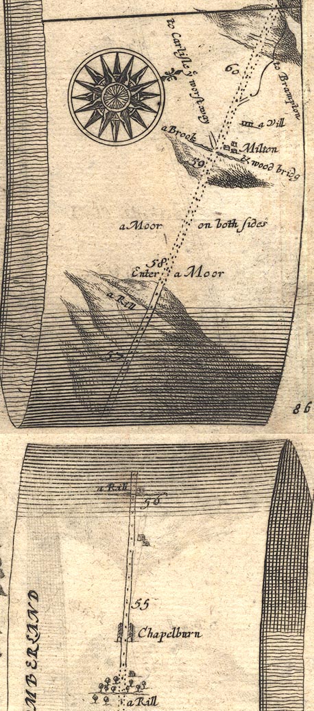 OG86m055.jpg In mile 59, Cumberland. "a Brook &wood bridg" crossed by the road, no bridge is drawn. item:- JandMN : 73 Image © see bottom of page |
|
|
|
||
| evidence:- | old map:- Bowen 1720 (plate 232) |
|
| source data:- | Road strip map, road map, pl.232, part of The Road from Tinmouth
to Carlisle, scale about 2 miles to 1 inch, with sections in
Northumberland and Cumberland, published by Emanuel Bowen, St
Katherines, London, 1720.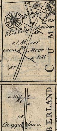 B232m55.jpg "a Brook &Wood Bridge" Mile 59 item:- JandMN : 65.232 Image © see bottom of page |
|
|
|
||
| evidence:- | old map:- Bell 1892 placename:- Milton Bridge |
|
| source data:- | Map, colour lithograph, Road Map of Cumberland, by George Joseph
Bell, scale about 2.5 miles to 1 inch, printed by Charles
Thurnam and Sons, Carlisle, Cumberland, 1892. BEL9NY56.jpg "MILTON" bridge symbol Road map of Cumberland showing County Bridges item:- Carlisle Library : Map 38 Image © Carlisle Library |
|
|
|
||
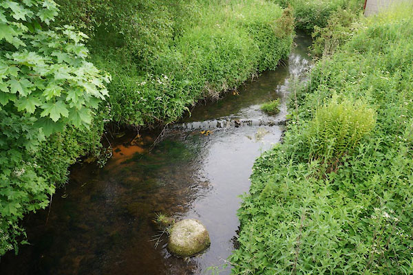 CFC41.jpg View of river. (taken 10.6.2016) |
||
|
|
||
 Lakes Guides menu.