 Old Cumbria Gazetteer
 |
 |
|
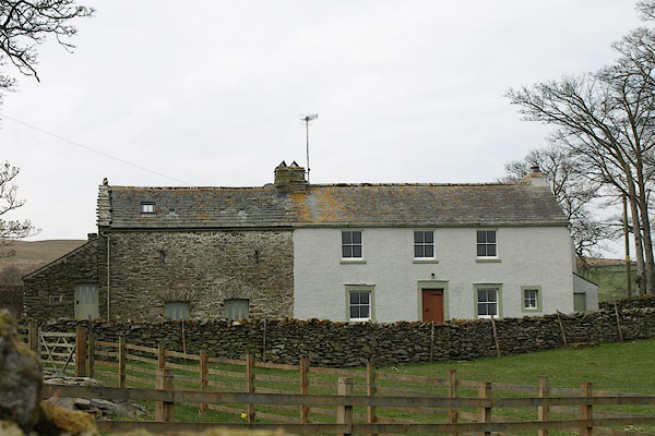
| Moorahill Farm, Bampton | ||
| Moorahill Farm | ||
| civil parish:- | Bampton (formerly Westmorland) | |
| county:- | Cumbria | |
| locality type:- | buildings | |
| coordinates:- | NY49341822 | |
| 1Km square:- | NY4918 | |
| 10Km square:- | NY41 | |
|
|
||
 BSO44.jpg (taken 23.4.2010) 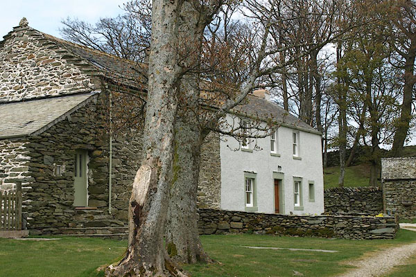 BSO45.jpg (taken 23.4.2010) |
||
|
|
||
| evidence:- | old map:- OS County Series (Wmd 13 7) placename:- Moorahill |
|
| source data:- | Maps, County Series maps of Great Britain, scales 6 and 25
inches to 1 mile, published by the Ordnance Survey, Southampton,
Hampshire, from about 1863 to 1948. |
|
|
|
||
| evidence:- | database:- Listed Buildings 2010 placename:- Moorahill Farm |
|
| source data:- | courtesy of English Heritage "MOORAHILL FARMHOUSE AND ATTACHED BARN / / / BAMPTON / EDEN / CUMBRIA / II / 74465 / NY4938018238" |
|
|
|
||
 Lakes Guides menu.