 Old Cumbria Gazetteer
 |
 |
|
| Park Head, Scalthwaiterigg | ||
| Park Head Farm | ||
| Park Head | ||
| civil parish:- | Scalthwaiterigg (formerly Westmorland) | |
| county:- | Cumbria | |
| locality type:- | buildings | |
| coordinates:- | SD544930 (?) | |
| 1Km square:- | SD5493 | |
| 10Km square:- | SD59 | |
|
|
||
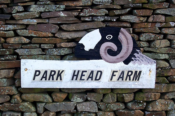 BNH07.jpg House name sign with Swaledale sheep. (taken 2.3.2007) |
||
|
|
||
| evidence:- | old map:- OS County Series (Wmd 39 5) placename:- Park Head |
|
| source data:- | Maps, County Series maps of Great Britain, scales 6 and 25
inches to 1 mile, published by the Ordnance Survey, Southampton,
Hampshire, from about 1863 to 1948. |
|
|
|
||
| evidence:- | perhaps hearth tax returns:- Hearth Tax 1675 placename:- Parkenooke |
|
| source data:- | Records, hearth tax survey returns, Westmorland, 1674/75. "Parkenooke" in "Skalthwaite-rigge" |
|
|
|
||
 Lakes Guides menu.