 Old Cumbria Gazetteer
 |
 |
|
| Parkhouse Gill | ||
| civil parish:- | Matterdale (formerly Cumberland) | |
| county:- | Cumbria | |
| locality type:- | river | |
| coordinates:- | NY42592068 | |
| 1Km square:- | NY4220 | |
| 10Km square:- | NY42 | |
|
|
||
| evidence:- | possibly old map:- Saxton 1579 placename:- |
|
| source data:- | Map, hand coloured engraving, Westmorlandiae et Cumberlandiae Comitatus ie Westmorland
and Cumberland, scale about 5 miles to 1 inch, by Christopher Saxton, London, engraved
by Augustinus Ryther, 1576, published 1579-1645. SAX9NY42.jpg item:- private collection : 2 Image © see bottom of page |
|
|
|
||
| evidence:- | old map:- Speed 1611 (Cmd) |
|
| source data:- | Map, hand coloured engraving, Cumberland and the Ancient Citie
Carlile Described, scale about 4 miles to 1 inch, by John Speed,
1610, published by J Sudbury and George Humble, Popes Head
Alley, London, 1611-12.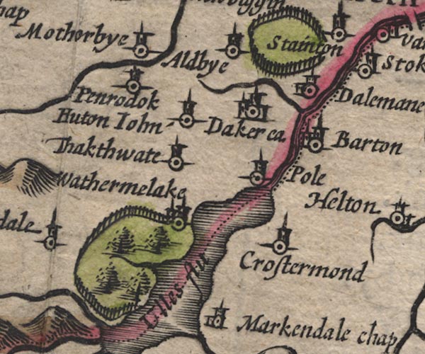 SP11NY42.jpg wiggly line, runs into Ullswater item:- private collection : 16 Image © see bottom of page |
|
|
|
||
| evidence:- | probably old map:- Speed 1611 (Wmd) |
|
| source data:- | Map, hand coloured engraving, The Countie Westmorland and
Kendale the Cheif Towne, scale about 2.5 miles to 1 inch, by
John Speed, 1610, published by George Humble, Popes Head Alley,
London, 1611-12.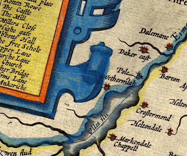 SP14NY42.jpg double line, into Ullswater item:- Armitt Library : 2008.14.5 Image © see bottom of page |
|
|
|
||
| evidence:- | possibly old map:- Jansson 1646 placename:- Parkhouse Gill |
|
| source data:- | Map, hand coloured engraving, Cumbria and Westmoria, ie
Cumberland and Westmorland, scale about 3.5 miles to 1 inch, by
John Jansson, Amsterdam, Netherlands, 1646.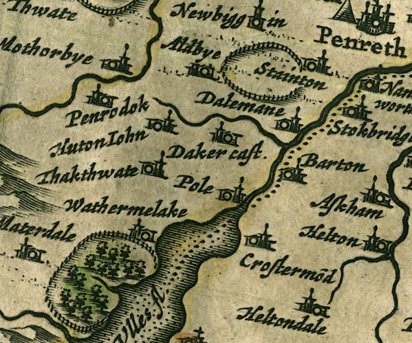 JAN3NY42.jpg item:- JandMN : 88 Image © see bottom of page |
|
|
|
||
| evidence:- | possibly old map:- Morden 1695 (Cmd) placename:- |
|
| source data:- | Map, uncoloured engraving, Cumberland, scale about 4 miles to 1
inch, by Robert Morden, 1695, published by Abel Swale, the
Unicorn, St Paul's Churchyard, Awnsham, and John Churchill, the
Black Swan, Paternoster Row, London, 1695-1715.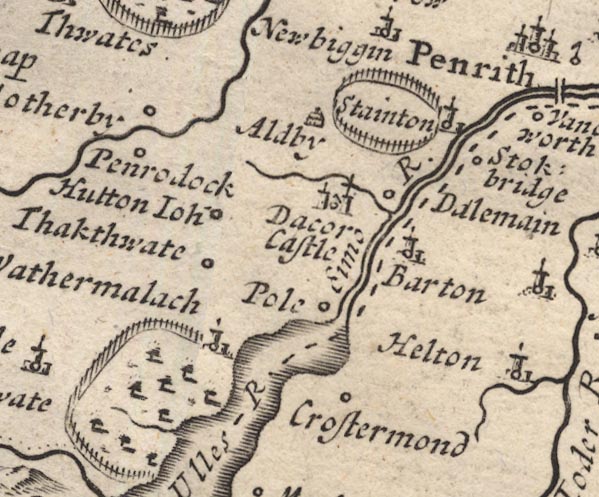 MD12NY42.jpg item:- JandMN : 90 Image © see bottom of page |
|
|
|
||
| evidence:- | old map:- Clarke 1787 map (Ullswater) placename:- Hole Beck |
|
| source data:- | Map, A Map of the Lake Ullswater and its Environs, scale about
6.5 ins to 1 mile, by James Clarke, engraved by S J Neele, 352
Strand, published by James Clarke, Penrith, Cumberland and in
London etc, 1787.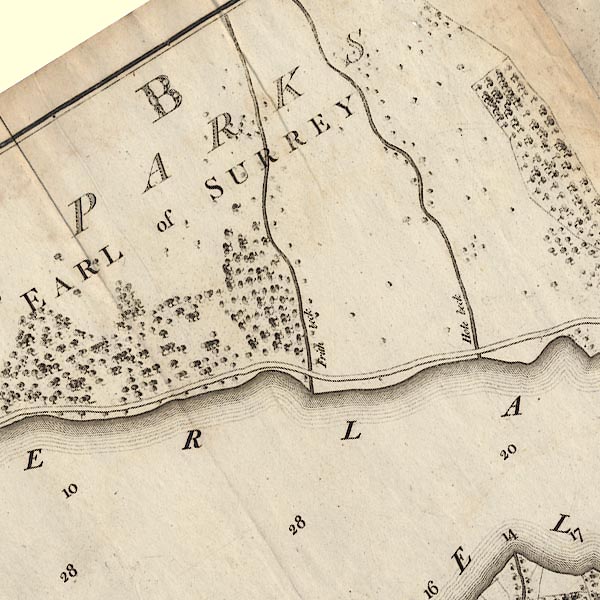 CL4NY42A.jpg "Hole Beck" item:- private collection : 10.4 Image © see bottom of page |
|
|
|
||
 Lakes Guides menu.