 Old Cumbria Gazetteer
 |
 |
|
| Pike of Carrs, Easedale | ||
| Pike of Carrs | ||
| locality:- | Far Easedale | |
| locality:- | Easedale | |
| civil parish:- | Lakes (formerly Westmorland) | |
| county:- | Cumbria | |
| locality type:- | rocks | |
| coordinates:- | NY30801024 (etc) | |
| 1Km square:- | NY3010 | |
| 10Km square:- | NY31 | |
|
|
||
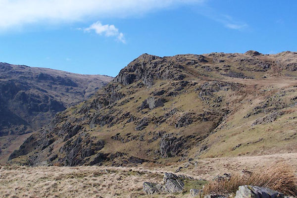 BUF72.jpg (taken 14.3.2011) 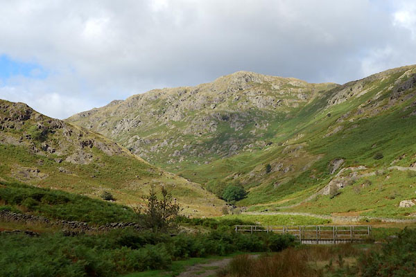 CBU13.jpg (taken 24.9.2014) |
||
|
|
||
| evidence:- | old map:- OS County Series (Wmd 18 11) placename:- Pike of Carrs |
|
| source data:- | Maps, County Series maps of Great Britain, scales 6 and 25
inches to 1 mile, published by the Ordnance Survey, Southampton,
Hampshire, from about 1863 to 1948. |
|
|
|
||
 Lakes Guides menu.