 Old Cumbria Gazetteer
 |
 |
|
| Red Tarn, Lakes | ||
| runs into:- |  Browney Gill Browney Gill |
|
|
|
||
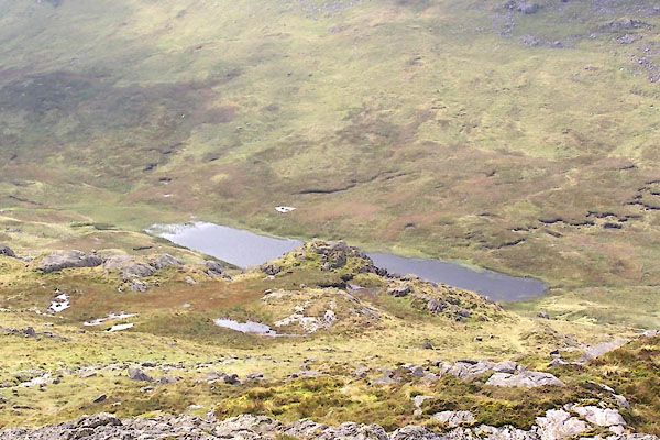
| Red Tarn | ||
| civil parish:- | Lakes (formerly Westmorland) | |
| county:- | Cumbria | |
| locality type:- | tarn | |
| coordinates:- | NY26800372 (etc) | |
| 1Km square:- | NY2603 | |
| 10Km square:- | NY20 | |
| altitude:- | 1720 feet | |
| altitude:- | 524m | |
| SummaryText:- | a couple of timny tarns above, SE. | |
|
|
||
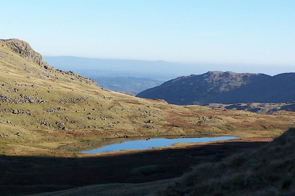 BTR20.jpg (taken 11.10.2010) 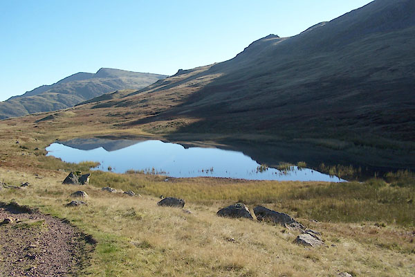 BTR21.jpg (taken 11.10.2010) |
||
|
|
||
| evidence:- | old map:- Garnett 1850s-60s H |
|
| source data:- | Map of the English Lakes, in Cumberland, Westmorland and
Lancashire, scale about 3.5 miles to 1 inch, published by John
Garnett, Windermere, Westmorland, 1850s-60s.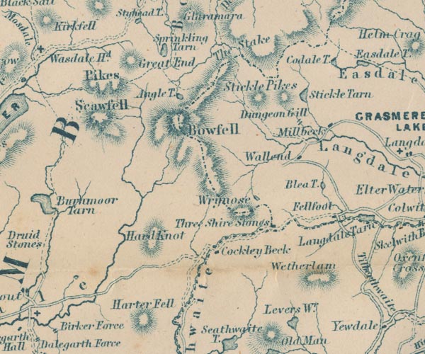 GAR2NY20.jpg outline, lake or tarn item:- JandMN : 82.1 Image © see bottom of page |
|
|
|
||
| evidence:- | old map:- Postlethwaite 1877 (3rd edn 1913) placename:- Red Tarn |
|
| source data:- | Map, uncoloured engraving, Map of the Lake District Mining Field, Westmorland, Cumberland,
Lancashire, scale about 5 miles to 1 inch, by John Postlethwaite, published by W H
Moss and Sons, 13 Lowther Street, Whitehaven, Cumberland, 1877 edn 1913.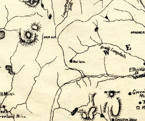 PST2NY20.jpg "Red Tarn" lake item:- JandMN : 162.2 Image © see bottom of page |
|
|
|
||
 BXG79.jpg (taken 3.9.2012) |
||
|
|
||
| hearsay:- |
Lanty Slee had one of his illicit whisky stills about here, 1860. |
|
|
|
||
Lakes Guides menu.