 Old Cumbria Gazetteer
 |
 |
|
| Roewath, Dalston | ||
| Roewath | ||
| locality:- | Stockdalewath | |
| civil parish:- | Dalston (formerly Cumberland) | |
| county:- | Cumbria | |
| locality type:- | buildings | |
| coordinates:- | NY38854454 | |
| 1Km square:- | NY3844 | |
| 10Km square:- | NY34 | |
|
|
||
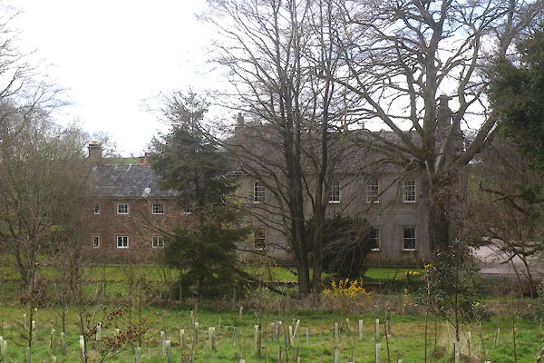 CEX56.jpg (taken 22.4.2016) |
||
|
|
||
| evidence:- | old map:- OS County Series (Cmd 30 15) placename:- Roewath |
|
| source data:- | Maps, County Series maps of Great Britain, scales 6 and 25
inches to 1 mile, published by the Ordnance Survey, Southampton,
Hampshire, from about 1863 to 1948. |
|
|
|
||
| evidence:- | database:- Listed Buildings 2010 placename:- Roewath |
|
| source data:- | courtesy of English Heritage "ROEWATH NY388445 / / / DALSTON / CARLISLE / CUMBRIA / II / 78350 / NY3885644541" |
|
|
|
||
 Lakes Guides menu.