 Old Cumbria Gazetteer
 |
 |
|
| Santon Bridge, Irton with Santon | ||
| Santon Bridge | ||
| civil parish:- | Irton with Santon (formerly Cumberland) | |
| county:- | Cumbria | |
| locality type:- | buildings | |
| coordinates:- | NY11010162 (etc) | |
| 1Km square:- | NY1101 | |
| 10Km square:- | NY10 | |
|
|
||
| evidence:- | old map:- OS County Series (Cmd 78 12) placename:- Santon Bridge |
|
| source data:- | Maps, County Series maps of Great Britain, scales 6 and 25
inches to 1 mile, published by the Ordnance Survey, Southampton,
Hampshire, from about 1863 to 1948. |
|
|
|
||
| evidence:- | old map:- Donald 1774 (Cmd) placename:- Sonton |
|
| source data:- | Map, hand coloured engraving, 3x2 sheets, The County of Cumberland, scale about 1
inch to 1 mile, by Thomas Donald, engraved and published by Joseph Hodskinson, 29
Arundel Street, Strand, London, 1774.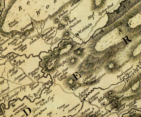 D4NY10SW.jpg "Sonton" block or blocks, labelled in lowercase; a hamlet or just a house item:- Carlisle Library : Map 2 Image © Carlisle Library |
|
|
|
||
| evidence:- | probably old text:- Green 1810 placename:- Sandholme Bridge |
|
| source data:- | Set of prints, soft ground etchings, Sixty Studies from Nature,
by William Green, Ambleside, Westmorland, drawn 1808-10,
published 1810. goto source goto sourcepage 83:- "... over Hardknott and Wrynose, and through the vale of Esk, by Sandholme bridge to Nether Wastdale; ..." |
|
|
|
||
| evidence:- | old map:- Otley 1818 placename:- Santon Bridge |
|
| source data:- | Map, uncoloured engraving, The District of the Lakes,
Cumberland, Westmorland, and Lancashire, scale about 4 miles to
1 inch, by Jonathan Otley, 1818, engraved by J and G Menzies,
Edinburgh, Scotland, published by Jonathan Otley, Keswick,
Cumberland, et al, 1833.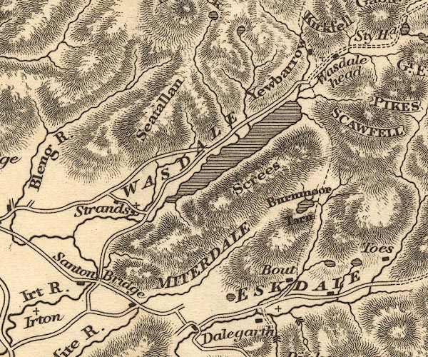 OT02NY10.jpg item:- JandMN : 48.1 Image © see bottom of page |
|
|
|
||
| evidence:- | old map:- Ford 1839 map placename:- Santon Bridge |
|
| source data:- | Map, uncoloured engraving, Map of the Lake District of
Cumberland, Westmoreland and Lancashire, scale about 3.5 miles
to 1 inch, published by Charles Thurnam, Carlisle, and by R
Groombridge, 5 Paternoster Row, London, 3rd edn 1843.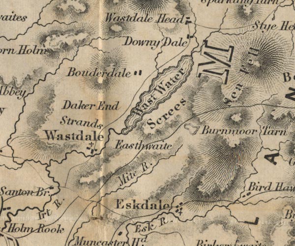 FD02NY10.jpg "Santon Bridge" item:- JandMN : 100.1 Image © see bottom of page |
|
|
|
||
Lakes Guides menu.