 Old Cumbria Gazetteer
 |
 |
|
| Scar Lathing, Eskdale | ||
| Scar Lathing | ||
| locality:- | Eskdale | |
| civil parish:- | Eskdale (formerly Cumberland) | |
| county:- | Cumbria | |
| coordinates:- | NY225048 (?) | |
| 1Km square:- | NY2204 | |
| 10Km square:- | NY20 | |
|
|
||
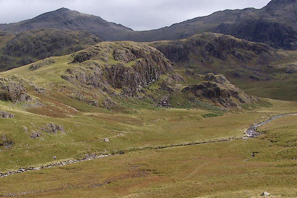 BRM44.jpg (taken 14.9.2009) 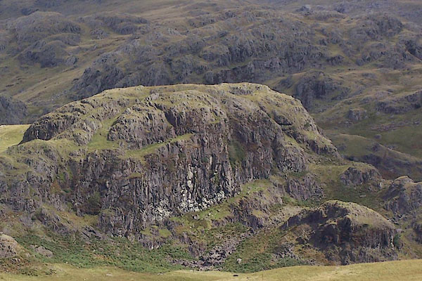 BRM45.jpg (taken 14.9.2009) |
||
|
|
||
| evidence:- | old map:- OS County Series (Cmd 79 4) placename:- Scar Lathing |
|
| source data:- | Maps, County Series maps of Great Britain, scales 6 and 25
inches to 1 mile, published by the Ordnance Survey, Southampton,
Hampshire, from about 1863 to 1948. |
|
|
|
||
 BYN07.jpg (taken 4.6.2013) 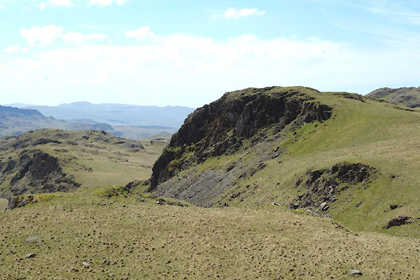 BYN08.jpg (taken 4.6.2013) |
||
|
|
||
 Lakes Guides menu.