 Old Cumbria Gazetteer
 |
 |
|
| Seat Robert, Shap Rural | ||
| Seat Robert | ||
| civil parish:- | Shap Rural (formerly Westmorland) | |
| county:- | Cumbria | |
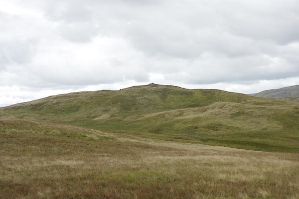
| locality type:- | hill | |
| locality type:- | currick | |
| coordinates:- | NY52631141 | |
| 1Km square:- | NY5211 | |
| 10Km square:- | NY51 | |
| altitude:- | 1690 feet | |
| altitude:- | 515m | |
|
|
||
 CBK69.jpg (taken 19.8.2014) 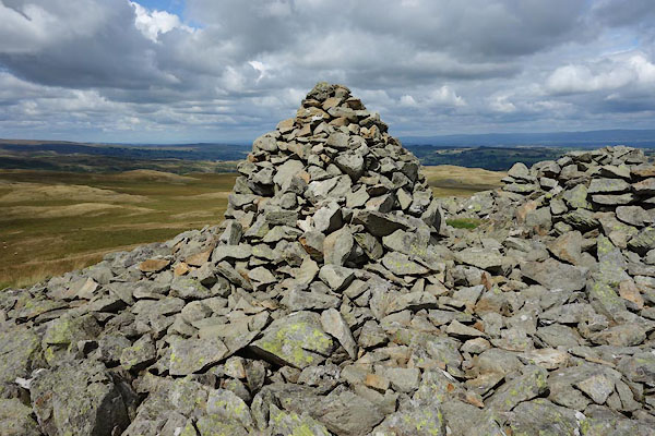 CBK70.jpg Cairn, perhaps a currick? (taken 19.8.2014) |
||
|
|
||
| evidence:- | old map:- OS County Series (Wmd 20 8) placename:- Seat Robert |
|
| source data:- | Maps, County Series maps of Great Britain, scales 6 and 25
inches to 1 mile, published by the Ordnance Survey, Southampton,
Hampshire, from about 1863 to 1948. |
|
|
|
||
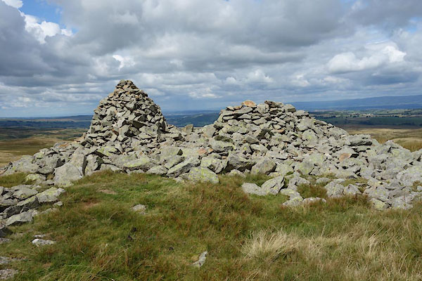 CBK72.jpg Cairn, ?currick, (taken 19.8.2014) 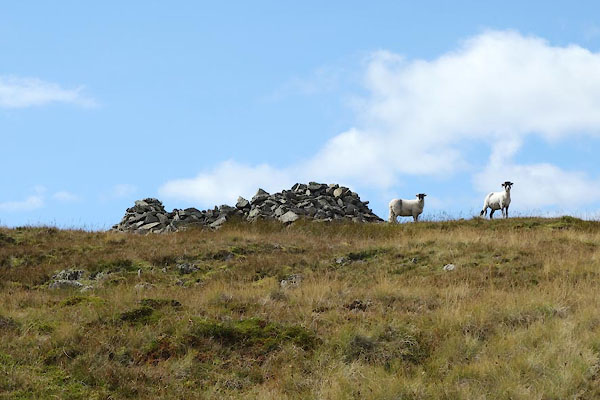 CBK71.jpg Cairn, ?currick, (taken 19.8.2014) |
||
|
|
||
 Lakes Guides menu.