 Old Cumbria Gazetteer
 |
 |
|
| Setterah Park, Askham | ||
| Setterah Park | ||
| civil parish:- | Askham (formerly Westmorland) | |
| county:- | Cumbria | |
| locality type:- | buildings | |
| coordinates:- | NY50992105 | |
| 1Km square:- | NY5021 | |
| 10Km square:- | NY52 | |
|
|
||
| evidence:- | hearth tax returns:- Hearth Tax 1675 placename:- Sattray parke |
|
| source data:- | Records, hearth tax survey returns, Westmorland, 1674/75. "Sattray parke" in "Hellton" |
|
|
|
||
| evidence:- | old map:- Morden 1695 (Wmd) |
|
| source data:- | Map, hand coloured engraving, Westmorland, scale about 2.5 miles to 1 inch, by Robert
Morden, published by Abel Swale, the Unicorn, St Paul's Churchyard, Awnsham, and John
Churchill, the Black Swan, Paternoster Row, London, 1695.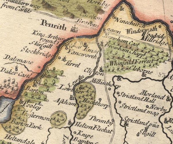 MD10NY52.jpg Ring of fence palings, trees. item:- JandMN : 24 Image © see bottom of page |
|
|
|
||
| evidence:- | old map:- Jefferys 1770 (Wmd) placename:- Settorow Park |
|
| source data:- | Map, 4 sheets, The County of Westmoreland, scale 1 inch to 1
mile, surveyed 1768, and engraved and published by Thomas
Jefferys, London, 1770.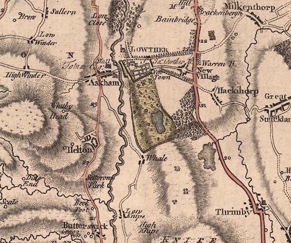 J5NY52SW.jpg "Settorow Park" circle, labelled in italic lowercase text; settlement, farm, house, or hamlet? item:- National Library of Scotland : EME.s.47 Image © National Library of Scotland |
|
|
|
||
| evidence:- | old map:- Cary 1789 (edn 1805) placename:- Setterow Park |
|
| source data:- | Map, uncoloured engraving, Westmoreland, scale about 2.5 miles
to 1 inch, by John Cary, London, 1789; edition 1805.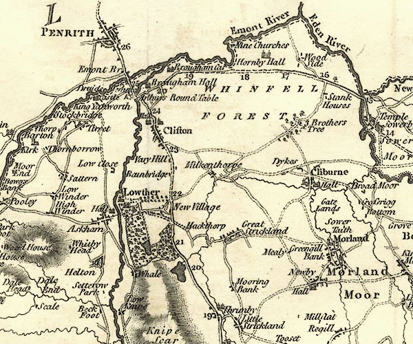 CY24NY52.jpg "Setterow Park" block/s, labelled in italic lowercase; house, or hamlet item:- JandMN : 129 Image © see bottom of page |
|
|
|
||
 Lakes Guides menu.