 Old Cumbria Gazetteer
 |
 |
|
| Side Pike, Lakes | ||
| Side Pike | ||
| civil parish:- | Lakes (formerly Westmorland) | |
| county:- | Cumbria | |
| locality type:- | hill | |
| coordinates:- | NY29300536 (etc) | |
| 1Km square:- | NY2905 | |
| 10Km square:- | NY20 | |
|
|
||
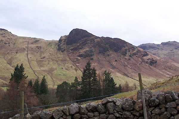 BSI86.jpg (taken 23.3.2010) 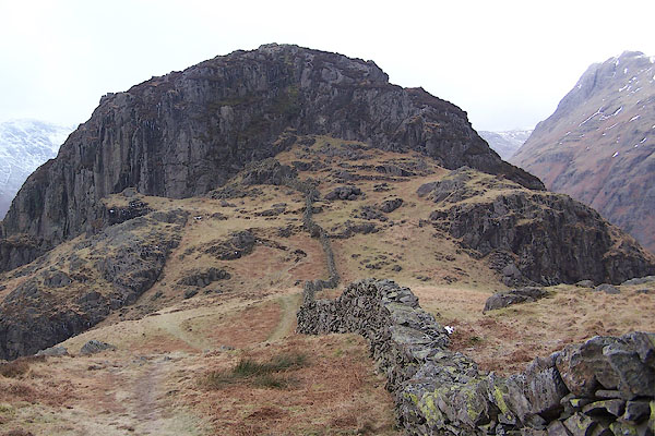 BSC82.jpg (taken 1.2.2010) |
||
|
|
||
| evidence:- | old map:- OS County Series (Wmd 25 7) placename:- Side Pike |
|
| source data:- | Maps, County Series maps of Great Britain, scales 6 and 25
inches to 1 mile, published by the Ordnance Survey, Southampton,
Hampshire, from about 1863 to 1948. |
|
|
|
||
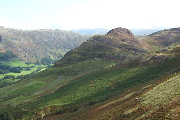 BXG92.jpg (taken 3.9.2012) 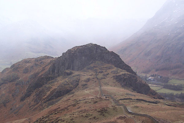 BSC81.jpg (taken 1.2.2010) |
||
|
|
||
 Lakes Guides menu.