 |
 |
|
|
|
|
Skettlegill |
| civil parish:- |
Stainton (formerly Westmorland) |
| county:- |
Cumbria |
| locality type:- |
locality |
| locality type:- |
buildings |
| coordinates:- |
SD52938653 (etc) |
| 1Km square:- |
SD5286 |
| 10Km square:- |
SD58 |
|
|
|
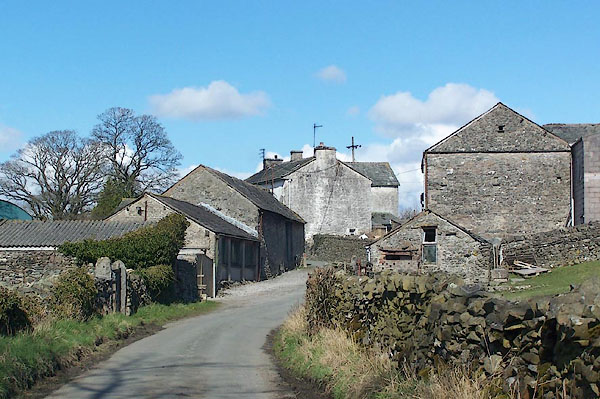
BLV07.jpg (taken 9.4.2006)
|
|
|
| evidence:- |
old map:- OS County Series (Wmd 43 5)
placename:- Skettlegill
|
| source data:- |
Maps, County Series maps of Great Britain, scales 6 and 25
inches to 1 mile, published by the Ordnance Survey, Southampton,
Hampshire, from about 1863 to 1948.
|
|
|
| places:- |
 |
SD52788650 Skettlegill Hill (Stainton) |
|
|
|
SD52938657 Low Bridge Mill (Stainton) |
|
