 Old Cumbria Gazetteer
 |
 |
|
| Sour Howes, Windermere | ||
| Sour Howes | ||
| locality:- | Applethwaite Common | |
| civil parish:- | Windermere (formerly Westmorland) | |
| county:- | Cumbria | |
| locality type:- | locality | |
| locality type:- | hill | |
| coordinates:- | NY42710317 (etc) | |
| 1Km square:- | NY4203 | |
| 10Km square:- | NY40 | |
| altitude:- | 1568 feet | |
| altitude:- | 478m | |
|
|
||
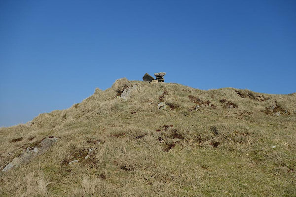 CAC16.jpg Little cairn on a little height, (taken 12.3.2014) |
||
|
|
||
| evidence:- | old map:- OS County Series (Wmd 26 12) placename:- Sour Howes |
|
| source data:- | Maps, County Series maps of Great Britain, scales 6 and 25
inches to 1 mile, published by the Ordnance Survey, Southampton,
Hampshire, from about 1863 to 1948. |
|
|
|
||
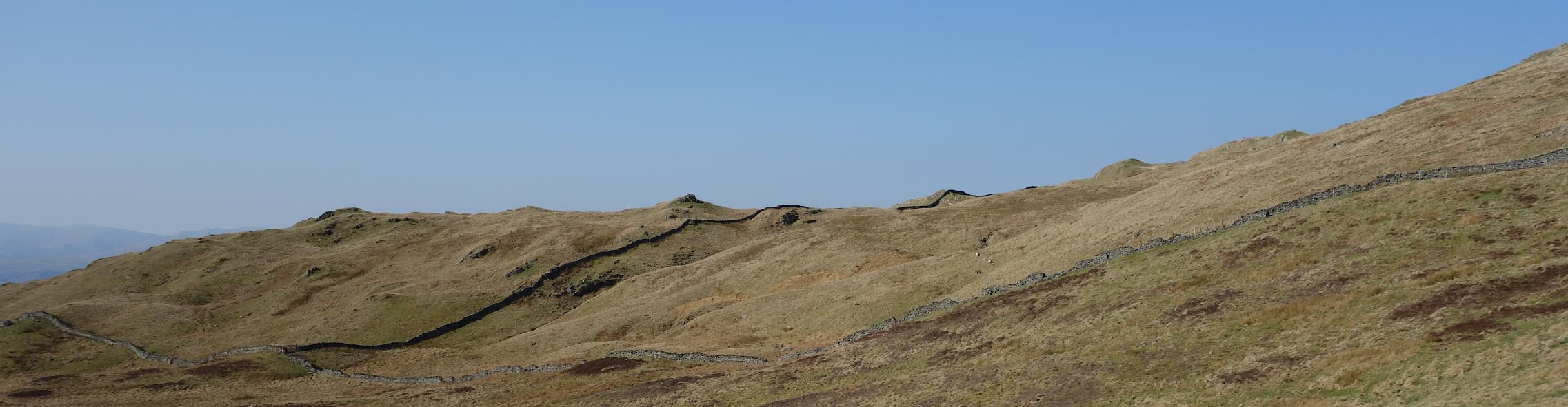 Click to enlarge CAC15.jpg (taken 12.3.2014) 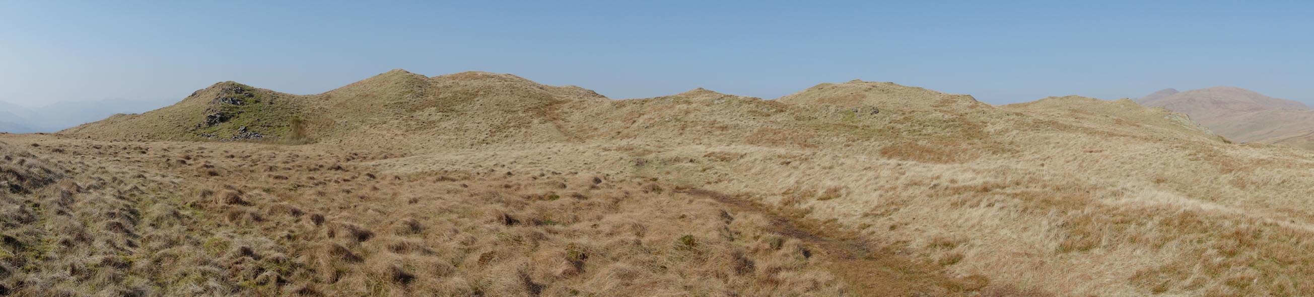 Click to enlarge CAC17.jpg Northerly end. (taken 12.3.2014) |
||
|
|
||
 Lakes Guides menu.