 Old Cumbria Gazetteer
 |
 |
|
| Souterstead, Torver | ||
| Souterstead | ||
| civil parish:- | Torver (formerly Lancashire) | |
| county:- | Cumbria | |
| locality type:- | buildings | |
| coordinates:- | SD273935 | |
| 1Km square:- | SD2793 | |
| 10Km square:- | SD29 | |
|
|
||
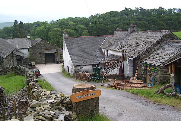 BMF93.jpg (taken 12.6.2006) 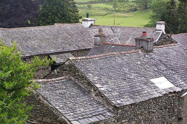 BMF94.jpg (taken 12.6.2006) |
||
|
|
||
| evidence:- | old map:- Ford 1839 map placename:- Southerstead |
|
| source data:- | Map, uncoloured engraving, Map of the Lake District of
Cumberland, Westmoreland and Lancashire, scale about 3.5 miles
to 1 inch, published by Charles Thurnam, Carlisle, and by R
Groombridge, 5 Paternoster Row, London, 3rd edn 1843.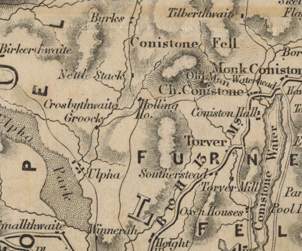 FD02SD29.jpg "Southerstead" item:- JandMN : 100.1 Image © see bottom of page |
|
|
|
||
 Lakes Guides menu.