 Old Cumbria Gazetteer
 |
 |
|
| Southerndale, Bassenthwaite | ||
| Southerndale | ||
| site name:- | Southerndale Beck | |
| civil parish:- | Bassenthwaite (formerly Cumberland) | |
| county:- | Cumbria | |
| locality type:- | valley | |
| coordinates:- | NY24682946 (etc) | |
| 1Km square:- | NY2429 | |
| 10Km square:- | NY22 | |
|
|
||
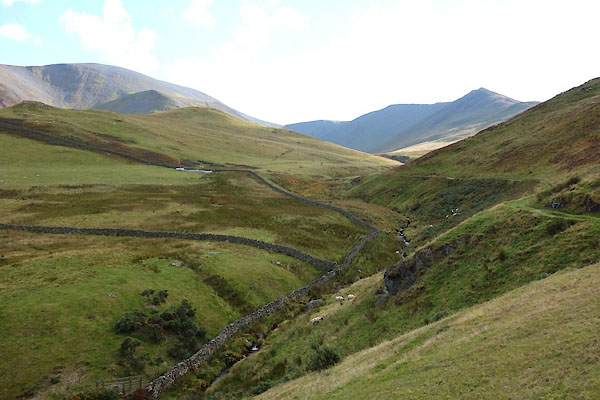 CEB80.jpg (taken 13.10.2015) 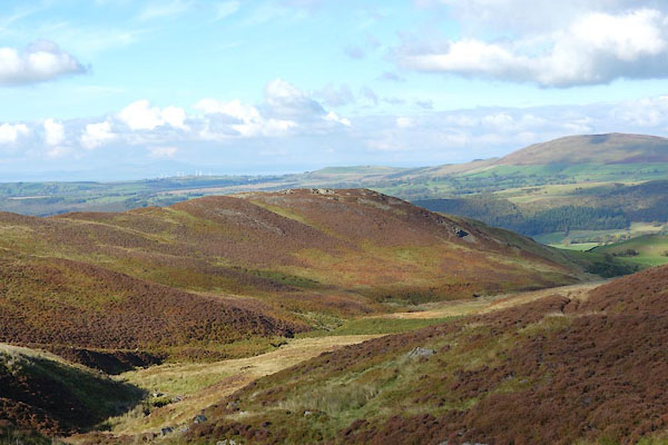 CEB66.jpg (taken 13.10.2015) |
||
|
|
||
| evidence:- | old map:- OS County Series (Cmd 56 5) placename:- Southern Dale |
|
| source data:- | Maps, County Series maps of Great Britain, scales 6 and 25
inches to 1 mile, published by the Ordnance Survey, Southampton,
Hampshire, from about 1863 to 1948. |
|
|
|
||
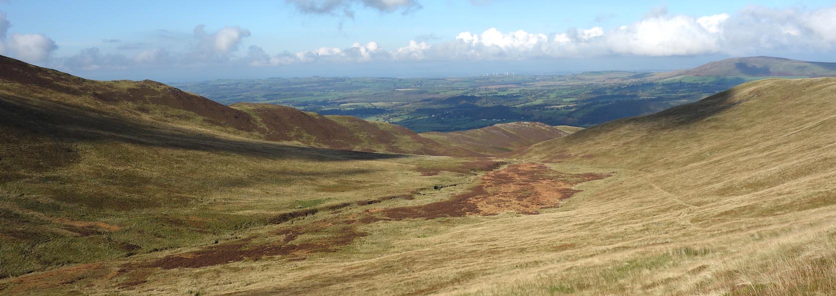 Click to enlarge CEB67.jpg (taken 13.10.2015) 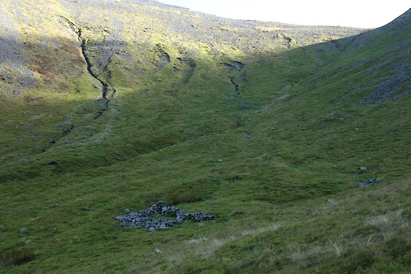 CEB70.jpg (taken 13.10.2015) 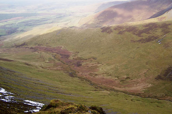 BPW08.jpg (taken 17.12.2008) |
||
|
|
||
 Lakes Guides menu.