


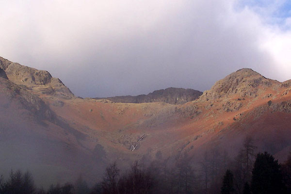
BLK79.jpg Stickle Ghyll from the road.
(taken 5.12.2005)
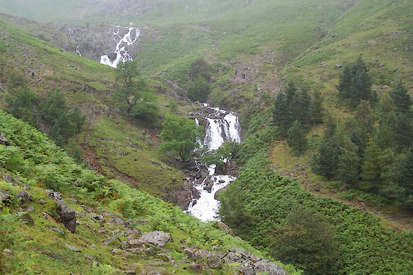
BUY63.jpg (taken 16.7.2011)
 goto source
placename:- Mill Beck
 goto source
Page 33:- "... Stickle Tarn, ... The stream falling into Langdale, at Millbeck, in a foaming cataract, may be seen at a distance."
 goto source
Page 104:- "[Dungeon Gill] ... Mill Beck is the stream flowing from Stickle Tarn, and gives name to two farm-houses,"
Otley is describing the waterfall in Dungeon Gill ie the ravine, and saying the stream is called the Mill Beck. While I do not know what local usage is, the OS maps confuse gill and beck names.
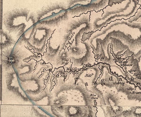
J5NY20NE.jpg
single or double wiggly line; river
item:- National Library of Scotland : EME.s.47
Image © National Library of Scotland
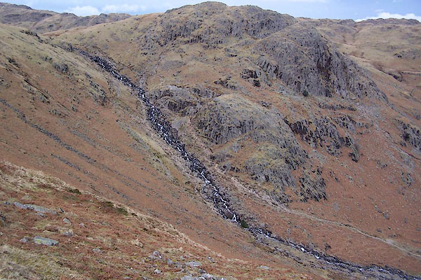
BSJ10.jpg and Tarn Crag.
(taken 23.3.2010)
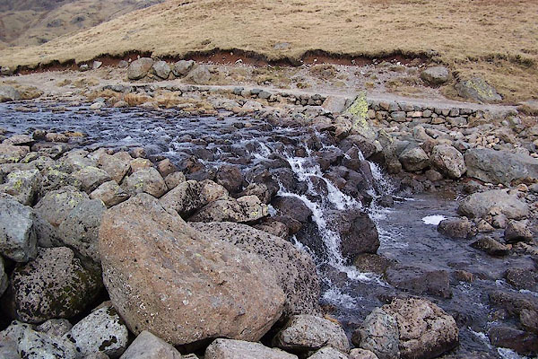
BSJ09.jpg (taken 23.3.2010)

BSJ10.jpg and Tarn Crag.
(taken 23.3.2010)
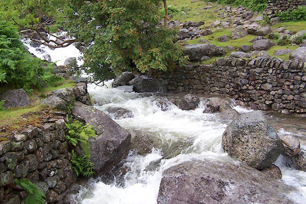
BUY66.jpg At the footbridge,
(taken 16.7.2011)
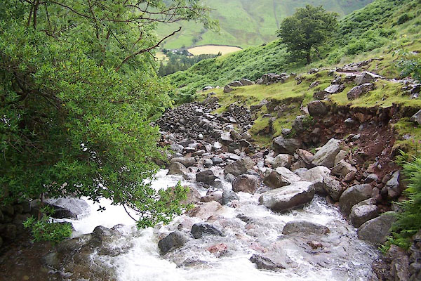
BUY67.jpg At the footbridge,
(taken 16.7.2011)
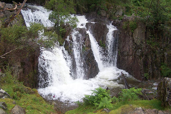
BUY68.jpg Waterfall,
(taken 16.7.2011)
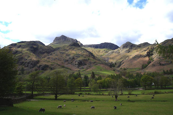
CAO01.jpg (taken 2.5.2014)
 |
NY288066 waterfall, Stickle Gill (Lakes) |
