 Old Cumbria Gazetteer
 |
 |
|
| Stickle Pike, Dunnerdale-with-Seathwaite | ||
| Stickle Pike | ||
| site name:- | Dunnerdale Fells | |
| civil parish:- | Dunnerdale-with-Seathwaite (formerly Lancashire) | |
| county:- | Cumbria | |
| locality type:- | hill | |
| coordinates:- | SD21199275 | |
| 1Km square:- | SD2192 | |
| 10Km square:- | SD29 | |
| altitude:- | 1231 feet | |
| altitude:- | 375m | |
|
|
||
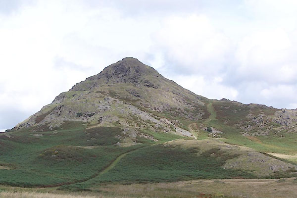 BTL48.jpg (taken 25.8.2010) 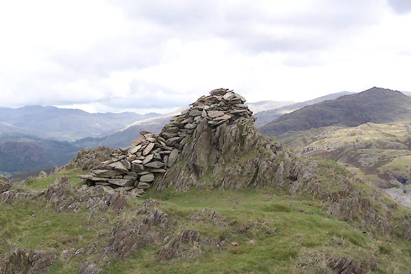 BTL49.jpg Cairn. (taken 25.8.2010) |
||
|
|
||
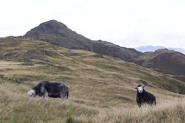 BTL47.jpg (taken 25.8.2010) |
||
|
|
||
 Lakes Guides menu.