 |
 |
|
|
|
|
Swathwaite Head |
| civil parish:- |
Skelton (formerly Cumberland) |
| county:- |
Cumbria |
| locality type:- |
locality |
| locality type:- |
buildings |
| coordinates:- |
NY41984372 (etc) |
| 1Km square:- |
NY4243 |
| 10Km square:- |
NY44 |
|
|
| evidence:- |
old map:- OS County Series (Cmd 38 4)
placename:- Swathwaite Head
|
| source data:- |
Maps, County Series maps of Great Britain, scales 6 and 25
inches to 1 mile, published by the Ordnance Survey, Southampton,
Hampshire, from about 1863 to 1948.
|
|
|
| places:- |
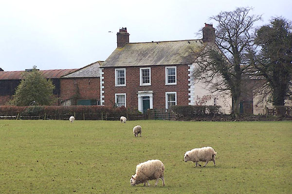 |
NY419438 Beech Croft (Skelton) |
|
|
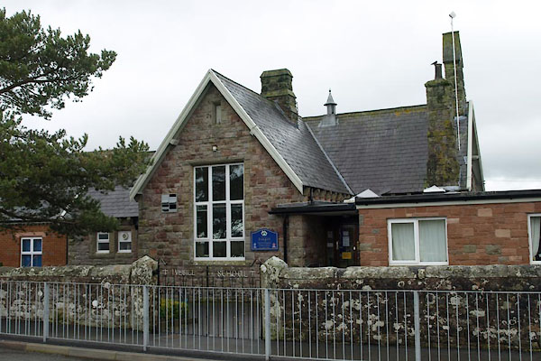 |
NY42194364 Ivegill CofE primary School (Skelton) |
|
|
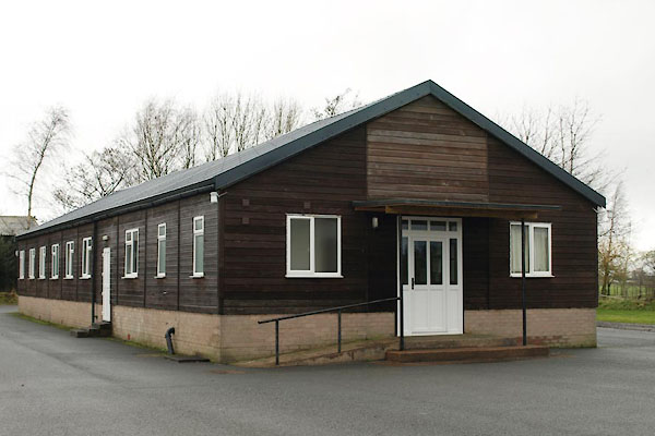 |
NY42144364 Ivegill Village Hall (Skelton) |
|

 Lakes Guides menu.