 Old Cumbria Gazetteer
 |
 |
|
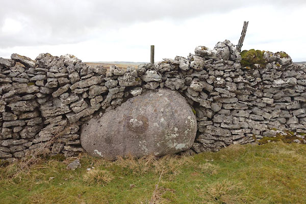
| Thunder Stone, Crosby Ravensworth | ||
| Thunder Stone | ||
| locality:- | Great Asby Scar | |
| civil parish:- | Crosby Ravensworth (formerly Westmorland) | |
| civil parish:- | Orton S (formerly Westmorland) | |
| county:- | Cumbria | |
| locality type:- | stone | |
| locality type:- | parish boundary mark | |
| coordinates:- | NY64101024 | |
| 1Km square:- | NY6410 | |
| 10Km square:- | NY61 | |
| references:- | OS County Series |
|
|
|
||
 CCM68.jpg (taken 17.2.2015) 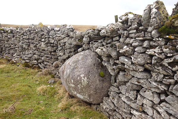 CCM69.jpg (taken 17.2.2015) |
||
|
|
||
| evidence:- | old map:- OS County Series (Wmd 22) placename:- Thunder Stone |
|
| source data:- | Maps, County Series maps of Great Britain, scales 6 and 25
inches to 1 mile, published by the Ordnance Survey, Southampton,
Hampshire, from about 1863 to 1948. "Thunder Stone" |
|
|
|
||
 Lakes Guides menu.