 Old Cumbria Gazetteer
 |
 |
|
| Toll Bar Cottage, Bassenthwaite | ||
| Toll Bar Cottage | ||
| site name:- | road, Keswick to Cockermouth | |
| civil parish:- | Bassenthwaite (formerly Cumberland) | |
| county:- | Cumbria | |
| locality type:- | toll gate (site) | |
| locality type:- | toll house (ex) | |
| locality type:- | buildings | |
| coordinates:- | NY21253263 | |
| 1Km square:- | NY2132 | |
| 10Km square:- | NY23 | |
|
|
||
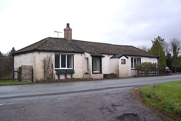 BLO55.jpg (taken 20.1.2006) |
||
|
|
||
| evidence:- | old map:- OS County Series (Cmd 46) placename:- Brackenrigg Turnpike |
|
| source data:- | Maps, County Series maps of Great Britain, scales 6 and 25
inches to 1 mile, published by the Ordnance Survey, Southampton,
Hampshire, from about 1863 to 1948. "Brackenrigg T.P." line across road, and building |
|
|
|
||
 Lakes Guides menu.