Old Cumbria Gazetteer
 |
 |
|
||
| Tongue Gill | ||||
| runs into:- |  Rothay, River Rothay, River |
|||
|
|
||||
| civil parish:- | Lakes (formerly Westmorland) | |||
| county:- | Cumbria | |||
| locality type:- | river | |||
| 1Km square:- | NY3410 (etc) | |||
| 10Km square:- | NY31 | |||
|
|
||||
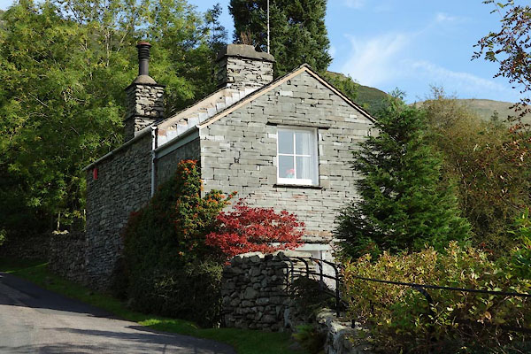
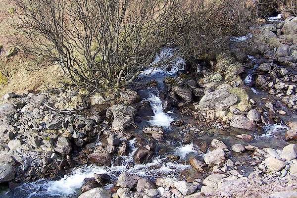 BQH23.jpg (taken 17.3.2009) 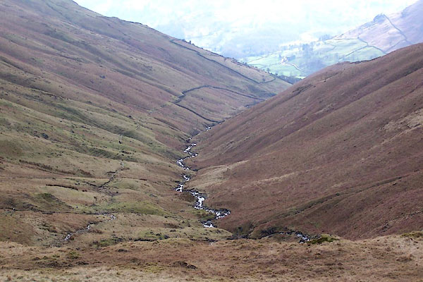 BQH19.jpg (taken 17.3.2009) |
||||
|
|
||||
| evidence:- | old map:- OS County Series (Wmd 19 9) placename:- Tongue Gill |
|||
| source data:- | Maps, County Series maps of Great Britain, scales 6 and 25
inches to 1 mile, published by the Ordnance Survey, Southampton,
Hampshire, from about 1863 to 1948. |
|||
|
|
||||
| evidence:- | old map:- Ogilby 1675 (plate 96) |
|||
| source data:- | Road strip map, hand coloured engraving, the Road from Kendal to
Cockermouth, and the Road from Egremond to Carlisle, scale about
1 inch to 1 mile, by John Ogilby, London, 1675.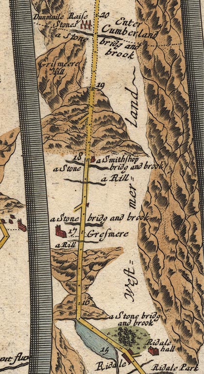 OG96m015.jpg In mile 17, Westmerland. River crossed at:- "a Stone bridg and brook" no bridge drawn. item:- JandMN : 22 Image © see bottom of page |
|||
|
|
||||
| evidence:- | old map:- Jefferys 1770 (Wmd) |
|||
| source data:- | Map, 4 sheets, The County of Westmoreland, scale 1 inch to 1
mile, surveyed 1768, and engraved and published by Thomas
Jefferys, London, 1770.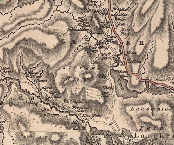 J5NY30NW.jpg single or double wiggly line; river item:- National Library of Scotland : EME.s.47 Image © National Library of Scotland |
|||
|
|
||||
| evidence:- | old map:- Clarke 1787 map (Ambleside to Keswick) |
|||
| source data:- | Map, A Map of the Roads Lakes etc between Keswick and Ambleside,
scale about 2.5 ins to 1 mile, by James Clarke, engraved by S J
Neele, 352 Strand, published by James Clarke, Penrith,
Cumberland and in London etc, 1787.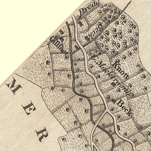 CL9NY30J.jpg item:- private collection : 10.9 Image © see bottom of page |
|||
|
|
||||
| evidence:- | old print:- Pearson 1900s placename:- Tongue Gill |
|||
| source data:- | Print, halftone photograph, Tongue Gill, near Grasmere, Westmorland, published by
C Arthur Pearson, Henrietta Street, London, 1900s.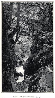 click to enlarge click to enlargePS1E09.jpg On p.15 of Pearson's Gossipy Guide to the English Lakes and Neighbouring Districts. printed at bottom:- "TONGUE GILL, NEAR GRASMERE. (P.142)." item:- Armitt Library : A1188.16 Image © see bottom of page |
|||
|
|
||||
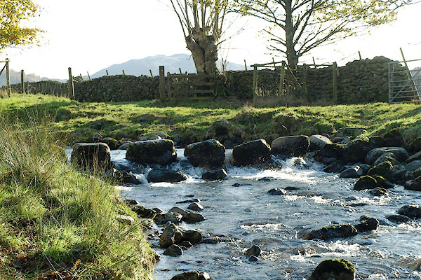
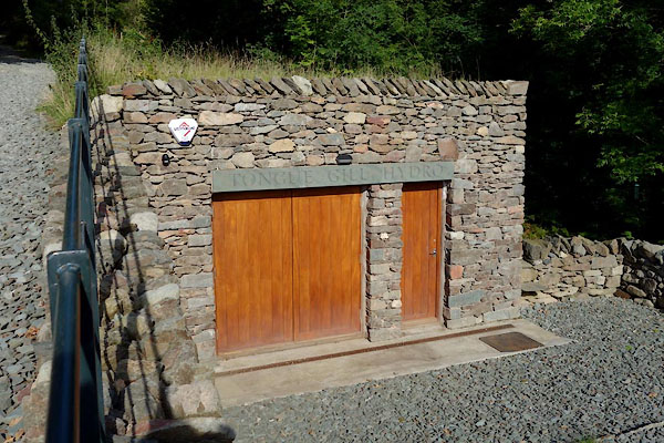
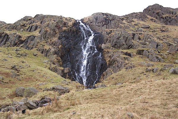
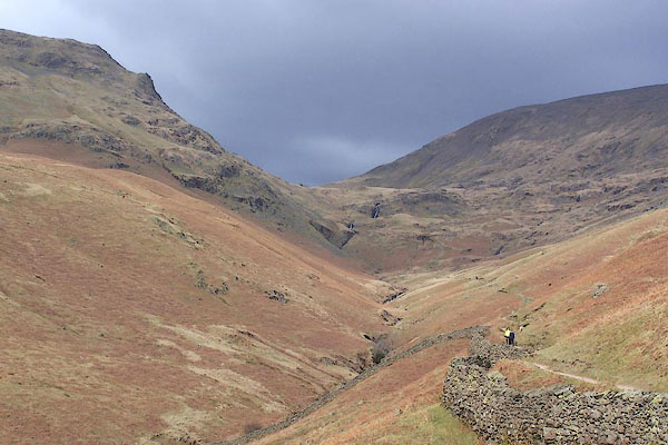 BQH21.jpg (taken 17.3.2009) 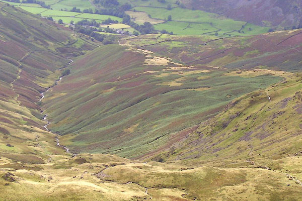 BOE48.jpg (taken 11.9.2007) 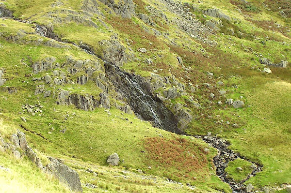 BOE41.jpg Waterfall, pretty high up. (taken 11.9.2007) 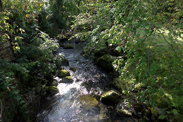 CEA15.jpg At Mill Bridge, (taken 28.9.2015) |
||||
|
|
||||
| places:- |
|
|||
|
||||
|
||||
|
||||
|
||||
|
||||
|
||||
Lakes Guides menu.