 Old Cumbria Gazetteer
 |
 |
|
| Undercrag, Mungrisdale | ||
| Undercrag | ||
| locality:- | Mungrisdale | |
| civil parish:- | Mungrisdale (formerly Cumberland) | |
| county:- | Cumbria | |
| locality type:- | buildings | |
| coordinates:- | NY36373068 | |
| 1Km square:- | NY3630 | |
| 10Km square:- | NY33 | |
|
|
||
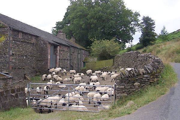 BVC84.jpg (taken 3.8.2011)  BVC87.jpg Date stone:- "1855" (taken 3.8.2011) |
||
|
|
||
| evidence:- | old map:- OS County Series (Cmd 57 2) placename:- Undercrag |
|
| source data:- | Maps, County Series maps of Great Britain, scales 6 and 25
inches to 1 mile, published by the Ordnance Survey, Southampton,
Hampshire, from about 1863 to 1948. |
|
|
|
||
| evidence:- | old map:- Gents Mag 1747 placename:- Under Craig |
|
| source data:- | Map, uncoloured engraving, perspective view, Caudbeck Fells ie
Caldbeck Fells, scale about 1+ miles to 1 inch, published in the
Gentleman's Magazine, 1747. GM1403.jpg "Under Craig" building item:- Carlisle Library : Map 43 Image © Carlisle Library |
|
|
|
||
| evidence:- | database:- Listed Buildings 2010 placename:- Undercrag item:- date stone (1835) |
|
| source data:- | courtesy of English Heritage "UNDERCRAG AND ADJOINING BARN AND WOODSHED / / / MUNGRISDALE / EDEN / CUMBRIA / II / 73554 / NY3635630697" |
|
|
|
||
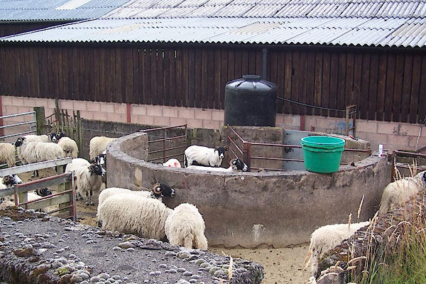 BVC85.jpg (taken 3.8.2011) 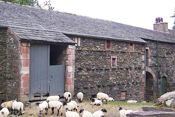 BVC86.jpg (taken 3.8.2011) |
||
|
|
||
 Lakes Guides menu.