 Old Cumbria Gazetteer
 |
 |
|
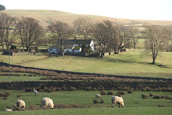
| Underhowe, Mungrisdale | ||
| Underhowe | ||
| Underhowe Farm | ||
| locality:- | Underhow | |
| civil parish:- | Mungrisdale (formerly Cumberland) | |
| county:- | Cumbria | |
| locality type:- | buildings | |
| coordinates:- | NY37222842 | |
| 1Km square:- | NY3728 | |
| 10Km square:- | NY32 | |
|
|
||
 BOP10.jpg (taken 6.2.2008) |
||
|
|
||
| evidence:- | old map:- OS County Series (Cmd 57 6) placename:- Farend |
|
| source data:- | Maps, County Series maps of Great Britain, scales 6 and 25
inches to 1 mile, published by the Ordnance Survey, Southampton,
Hampshire, from about 1863 to 1948. |
|
|
|
||
| evidence:- | database:- Listed Buildings 2010 placename:- Under Howe item:- date stone (1752) |
|
| source data:- | courtesy of English Heritage "UNDER HOWE WITH ADJOINING BARN AND FORMER STABLES / / / MUNGRISDALE / EDEN / CUMBRIA / II / 73526 / NY3722428418" |
|
|
|
||
 Lakes Guides menu.