 Old Cumbria Gazetteer
 |
 |
|
| Undermount, Rydal | ||
| Undermount | ||
| locality:- | Rydal | |
| civil parish:- | Lakes (formerly Westmorland) | |
| county:- | Cumbria | |
| locality type:- | buildings | |
| coordinates:- | NY36440626 | |
| 1Km square:- | NY3606 | |
| 10Km square:- | NY30 | |
|
|
||
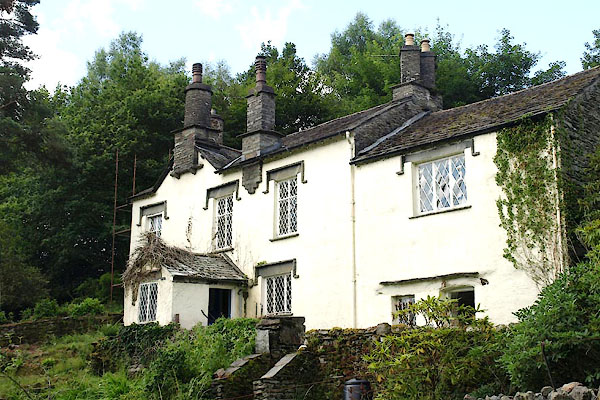 BYX14.jpg (taken 30.7.2013) |
||
|
|
||
| evidence:- | old map:- OS County Series (Wmd 26 2) placename:- Undermount |
|
| source data:- | Maps, County Series maps of Great Britain, scales 6 and 25
inches to 1 mile, published by the Ordnance Survey, Southampton,
Hampshire, from about 1863 to 1948. |
|
|
|
||
| evidence:- | database:- Listed Buildings 2010 placename:- Undermount |
|
| source data:- | courtesy of English Heritage "UNDERMOUNT / / / LAKES / SOUTH LAKELAND / CUMBRIA / II / 507214 / NY3644506263" |
|
|
|
||
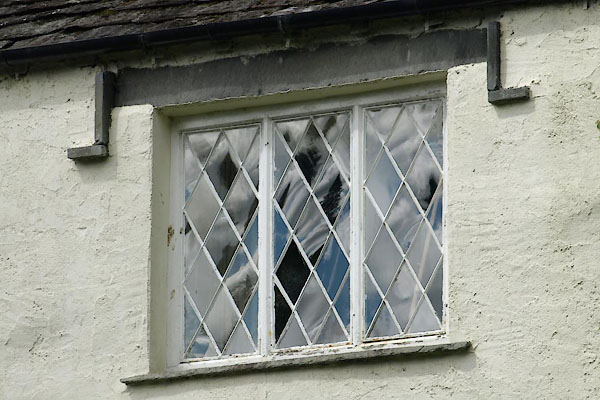 BYX15.jpg Window. (taken 30.7.2013) 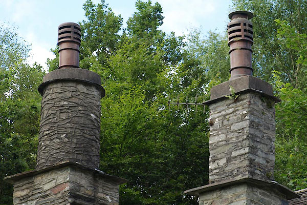 BYX16.jpg Chimney. (taken 30.7.2013) |
||
|
|
||
 Lakes Guides menu.